Hiking trip through Skarvheimen in Norway
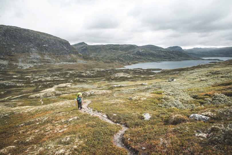
This hike takes you through large parts of Skarvheimen National Park. You get to experience everything from rugged bare mountains and plateaus to fertile, deep valleys.
Quick facts about the trip through Skarvheimen
- Area: Skarvheimen, Hallingdal, Fødalen protected area
- Type: Hike
- Classification: Red | Challenging
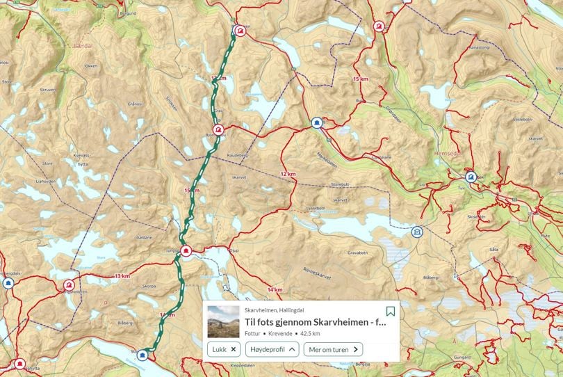
- Length and duration: 42,5 km | 3 days | One way, from A-B
- Elevation profile: 1 820 elevation metres in total
- Season: July - October
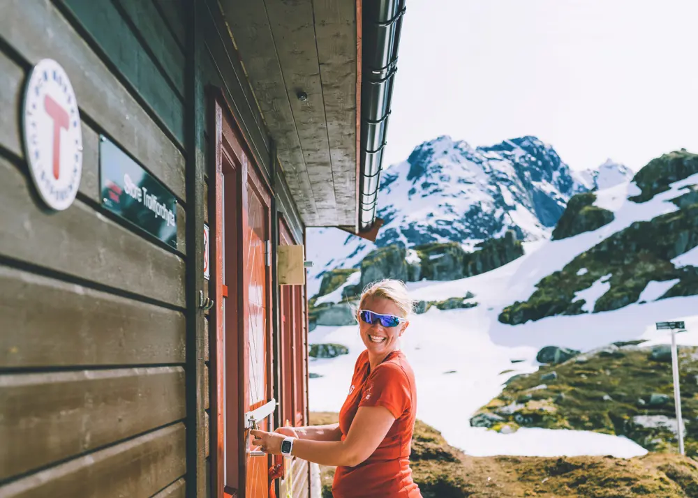
When you get off the bus at Breistølen in the Hemsedalsfjellet mountains, you can look forward to the hike south into Skarvheimen. You can spend the night at Breistølen (private staffed lodge) or Skarvheim (self-service DNT cabin).
Tour description
Day 1: Breistølen/Skarvheim - Bjordalsbu (12,8 km)
The first leg goes south and up to Bjordalsbu cabin, which is in an open and free position on the mountain plateau with great views. Skarvheim and Breistølen are situated at an altitude of approx. 1,000 metres above sea level and Bjordalsbu at 1,400 metres, so allow plenty of time for breaks. The hike starts on a construction road and continues on a path up Stardalen valley to Stardalsmønen. The hike then continues down towards Starsjøen lake and on past an old hunting trap for reindeer where there are also numerous animal graves. The hike then goes up towards Graveggi and on down to Bjordalsbu cabin.
Day 2: Bjordalsbu - Iungsdalshytta (15,5 km)
After a night spent high up in the mountains at Bjordalsbu, the hike goes from mountain terrain to a fertile, green landscape at the staffed Iungsdalshytta lodge. You pass the highest point on the hike, Gråhyrneran at approx. 1,700 metres above sea level, on the way. This is a good place for a snack while you soak up the incredible views of the Jotunheimen mountains. You pass the lovely old venerable building Lordehytta on the way down to Iungsdalshytta lodge. This lodge is in a beautiful location beside Djup lake, where the trout jump and the mountains cast their reflection. A delicious three-course dinner, a made bed and pleasant staff also await you.
Day 3: Iungsdalshytta - Storestølen (16,1 km)
The last leg is to Storestølen lodge, across mountains and plateaus, which makes for a fantastic, easy-to-walk conclusion to the hike. The path takes you up a few hundred metres in altitude towards Grevskardnuten with beautiful views before it descends between perpendicular mountainsides and on to Blåbergi. The approach to Storestølen lodge offers great views of Hallingskarvet ridge.
There is a bus to the east and west from Storestølen, where you can rest your weary feet and look back on a wonderful hike in Skarvheimen.
More details on ut.no
See the route in map and more tour facts on ut.no
Ut.no is in Norwegian only, but is still useful for English language users. See the route in map, elevation profile, and find more tour facts in the tour description.
Se også


