This segment is 54 km long. At the starting point in Lønsdal, there is a train station. It is possible to hike this segment as a continuous single trip, but also as round trips with one section along The Nordland trekking traill at a time.
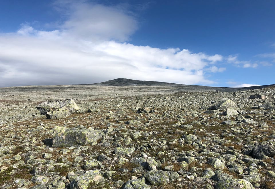
Here, you walk in open high mountain terrain, with most of the route at an altitude between 600 meters and 1000 meters above sea level. The highest point reaches 1080 meters above sea level. The sections pass through the Saltfjellet-Svartisen National Park. The section that goes through Bjøllådalen is also part of the Telegrafruta trail.
Hiking description
29. section. Lønsdal – Saltfjellstua (23,7)
Hiking Description
Start from Saltfjellstua and ascend Lønsdalsbakken towards the station. About 200 meters before reaching the station, the trail starts heading west, passing under the railway and ascending the hillside to a trail intersection. Here, Nordlandsruta continues southwest, rounding the south side of Kjemåvatnet/Giebbnejávrre. The trail then continues westward, rounding the north side of Kjemåfjellet/Giebbnevárddo (932 meters above sea level) and meeting Kjemåbekken/Giebbnejåhkå. From here, there are two alternative routes. You can ford Kjemåbekken twice, or choose to continue along the south side of the stream. When the two alternative routes converge, the trail ascends through the pass between Lønstinden/Bajep Låptåtjåhkkå (1506 meters above sea level) to the south and Steindalstind/Juovvavággetjåhkkå (1379 meters above sea level) to the north. As you pass through the pass, you are at just under 1100 meters in elevation. Lønstindvatnet is crossed on the north side, and then you reach Steindalen, aptly named for its steepness. The trail then descends steadily all the way back to Saltfjellstua. On the way down, you will encounter a trail intersection where the trail to the northwest leads to Midtistua, while Nordlandsruta continues southwest and descends towards the southern end of Søre-Bjøllåvatnet/Vuolep Ruovdajávrre. Some streams must be forded along the way. During high water flow, it's best to do this near the lake. Before reaching the bridge over Bjellåga/Biellok, you'll pass another trail intersection where the trail southeast leads to Semska via E6. After crossing the bridge, the route follows south along the river for about 500 meters until reaching Saltfjellstua.
The route follows the west side and descends along Bjøllåga/Biellok. Approximately 1 kilometer before reaching Krukkistua, you will pass the old Steinstua. This is the shortest stage of the Nordlandsruta.
The old Steinstua just north of Krukki has been lovingly restored. It and the stone cabin near Nordre Bjøllåvatnet/Bajep Ruovdujávrre were originally built by Hans Eriksen from Bredek in the 1860s in connection with the construction of the telegraph line across Saltfjellet. The stone cabins measure 8 x 6.5 meters externally and have a ridge roof with turf covering. The walls are double stone walls, about 1 meter thick, with turf in the middle. Steinstua was restored between 1983-1985.
Near the Steinstua at Krukki, you can also see traces of the construction road that was built.
The construction road features beautiful natural stone embankments.
31. section. Krukkistua - Bolna (25,6 km)
Hiking description
The route follows the west side and descends along Bjøllåga/Biellok. After 2.5 kilometers, there is a trail junction where the path southwest leads down Tespdalen, while the Nordlandsruta continues southward along Nordstilleleva until it crosses the river on a bridge at Storfiskea. After the bridge, the trail ascends the slope and rounds Kvitsteindalen. In the middle of the valley, Kvitsteindalselva is crossed on a bridge. The trail then ascends approximately 200 meters diagonally up the west-facing slope under Bolna/Bållná (1460 m above sea level) and reaches Raudfjelldalskoia. This is an open emergency hut. Shortly after passing the hut, Johan-Larson Jåhkå is crossed, which must be waded through. The trail continues southeastward in fairly flat terrain down Bålnadalen and further down the slope to Bolnastua. The railway line is crossed just before reaching the cabin.