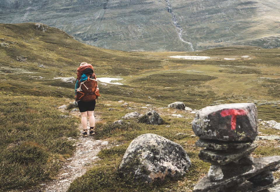
The third stage of MASSIV takes you through Skarvheimen National Park and offers a challenging yet rewarding experience across diverse terrains. Suitable for those with a good fitness level, it promises an unforgettable adventure.
Tour description
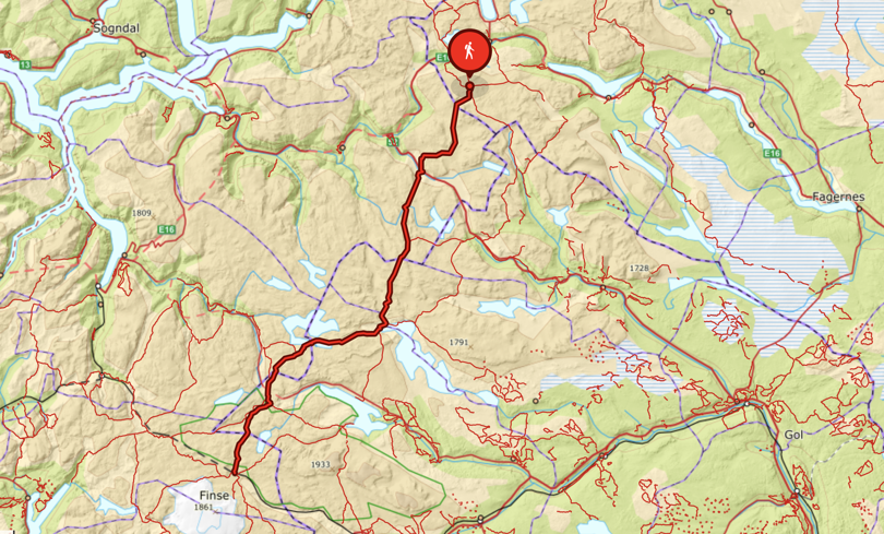
Day 7: Slettingsbu – Sulebu cabin (16.5 km)
Follow the trail along the water's edge until you reach the end of the lake and the trail turns south-west and down towards Slettningen lake. The terrain is varied and easy going. From the west end of Slettningen lake, the trail leads south to Kyrkjestølen. Cross the road and continue up the hillside, with a view of Suletinden (1,780 m.a.s.l.) (//mistake mot instead of moh), and onwards about 8 km up to the cabin. Sulebu is beautifully situated between a few small lakes, at 1,327 metres above sea level.
Day 8: Sulebu – Skarvheim cabin (19 km)
Today's leg is a lovely trip between the mountains Suletinden and Sulefjellet, past Masseringstjørni lake and Nordre Kluftenosi mountain and down to Breistølen. At Breistølen, you will find Skarvheim cabin (formerly known as Breistølbu cabin) and Breistølen Fjellstue lodge, located at the highest point on the Rv52 road.
Day 9: Skarvheim – Bjordalsbu cabin (13 km)
The day’s route starts on an access road and continues on a trail up Stardalen valley to Stardalsmønen. There’s a gentle descent towards the north-western cove in Starsjøen lake, before a descent towards the rocky and barren Rankebotnen. There are old trapping pits between the trail and Nedre Bjordalsvatnet lake. Continue south across a ravine on the western edge of Graveggi mountain and down to Bjordalsbu cabin.
Day 10: Bjordalsbu – Iungsdalshytta lodge (16 km)
Today's leg goes from a barren landscape, through the dramatic area Helvetet, and past beautiful lakes that are great for fishing and a swim. The trail gradually descends into the beautiful Fødalen valley with a view over to the wonderful Systrondsfossen waterfall. Iungsdalshytta lodge is a true gem in Skarvheimen and a great place to spend the evening, night and enjoy breakfast, and meet some of the friendly animals!
Day 11: Iungsdalshytta – Kongshelleren cabin – Geiterygghytta lodge (29 km)
This is the longest leg of the trip, so we recommend taking a break at the self-service cabin Kongshelleren. It’s also possible to spend the night at the cabin if you would like to do this leg over two days. The route takes in beautiful valleys, and is full of contrasts, and easy to walk. Before reaching Geiterygghytta lodge, a nice rest in the heather in Rossdalen valley is highly recommended. Geiterygghytta lodge promises a comfortable bed for the night and a three-course dinner.
Day 12: Geiterygghytta – Finsehytta lodge (16 km)
Walk from the lodge along Geitryggvatnet lake, past the trails to Raggsteindalen valley and Storestølen lodge, and along the Bakkahellertjørnane lakes. There is a steady ascent about 400 metres up the mountainside east of Omnsvatnet lake, partly over snowdrifts up on the plateau. A short detour to the top of Sankt Pål mountain offers a sweeping view of the Hurrungane mountains to the north, Hardangerjøkulen glacier to the south and Gaustatoppen mountain to the south-east. Continue south to Klemsbu cabin. The cabin is locked, but the entrance on the 1st floor, with stairs down to the ground floor, can be used as an emergency cabin. The trail steadily descends through rocky terrain and across the summer bridge over Finseelvi river. Continue down and through the area of cabins, over the railway line at the west end of the station, and on to Finsehytta lodge.
About MASSIV - The MASSIV trail
The MASSIV trail is a 350-km-long fairy tale. Whether you do it in one go or in legs over several seasons is entirely up to you. You can spend several days at a cabin and do some of the nice hikes in the area or do longer legs to save time. Irrespective of what you choose, this is a rough suggestion that you can use to plan your tour.
Ut.no is in Norwegian only, but is still useful for English language users. See the route in map, elevation profile, and find more tour facts in the tour description.
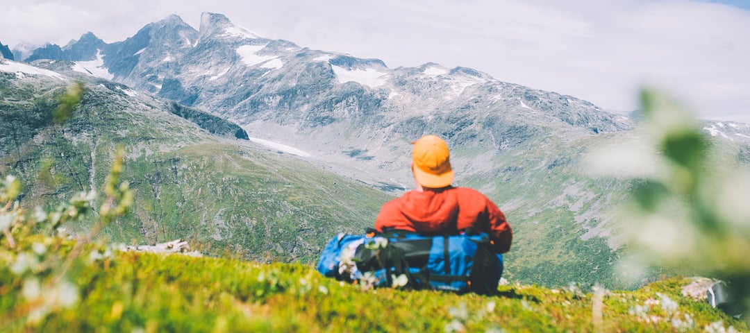
Are you looking for a real test of strength? This 350-kilometre-long mountain trail on the rooftop of Norway takes you through the four large mountain ranges of Breheimen, Jotunheimen, Skarvheimen and Hardangervidda.