Explore the second stage of the Signature Massiv Route, a journey through Jotunheimen National Park, known for housing some of Norway's highest peaks, including Galdhøpiggen and Glittertind. This trek offers a unique blend of challenging terrain and stunning natural beauty, showcasing the diverse landscapes of one of Scandinavia's most revered national parks
Tour description
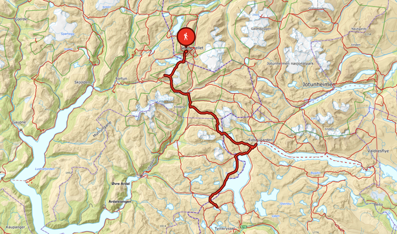
Day 3: Sognefjellshytta lodge – Fannaråkhytta lodge (18 km)
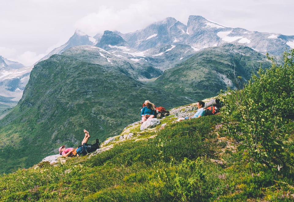
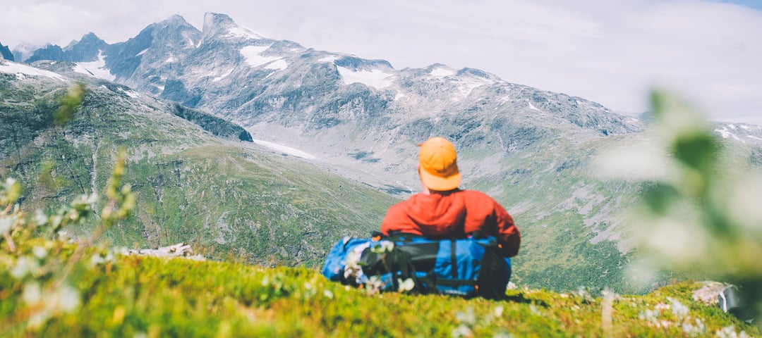
On the trip to Fannaråkhytta lodge, you can experience a glacier walk and visit DNT's highest-altitude cabin. The Fannaråkbreen glacier is covered with snow, but below the surface the ice masses move, so we need to be roped together and accompanied by a guide. Keep your fingers crossed for good weather as you continue up the mountain ridge to Fannaråkhytta lodge so you can enjoy the phenomenal view across to Skagastølsryggen ridge with Store Skagastølstind being the highest mountain peak.
Day 4: Fannaråken – Skogadalsbøen lodge (11 km)
From Fannaråken lodge, head steeply down on the west side of the glacier. Continue down through Keiserpasset pass to Skogadalsbøen lodge (833 m.a.s.l.). This five-hour hike involves a descent of 1,200 metres with stunning views of the Utladalen valley.
Day 5: Skogadalsbøen – Fondsbu lodge (24 km)
From the lush Utladalen valley, the route continues up Uradalen valley to the Uradalsbandet mountain range, at 1,400 metres above sea level. The majestic 2,157-metre high Uranostind stands directly to the east. There’s quite a lot of loose rock on the route over the mountains and down along Uradalsvatnet lake, then some hilly and varied landscape, before Fondsbu lodge can be seen below.
The lodge is situated in the southern part of Jotunheimen, next to Bygdin lake. The lodge maintains a high standard, and is a lively and popular place for hikers.
Day 6: Fondsbu – Slettingsbu cabin (22.5 km)
From Fondsbu lodge, either follow the road to Tyinholmen or the unmarked path 400 metres north of the road. Continue on the road west from Tyinholmen and in towards Koldedalen valley. The T-marked trail continues after the bridge over Koldedøla, first west for 500 metres, then south, and eventually arriving at Tyin lake. When the trail meets the Fv53 road at Tyinosen, follow the road for 1 km before following a road towards the cabin area south of the road. The trail to Slettningsbu cabin is just after the car park. It is a gentle 3-km uphill hike from the road to the cabin. The cabin is located next to Øvre Årdalsvatnet lake at 1,313 metres above sea level.
About MASSIV - The MASSIV trail
The MASSIV trail is a 350-km-long fairy tale. Whether you do it in one go or in legs over several seasons is entirely up to you. You can spend several days at a cabin and do some of the nice hikes in the area or do longer legs to save time. Irrespective of what you choose, this is a rough suggestion that you can use to plan your tour.
Ut.no is in Norwegian only, but is still useful for English language users. See the route in map, elevation profile, and find more tour facts in the tour description.
Are you looking for a real test of strength? This 350-kilometre-long mountain trail on the rooftop of Norway takes you through the four large mountain ranges of Breheimen, Jotunheimen, Skarvheimen and Hardangervidda.