Segment 6 Through the mountainous world of Rana
From Bolna to Umbukta
This segment is 73.2 km long. It is possible to hike the segment as a continuous single trip, but also as round trips with one section at a time.
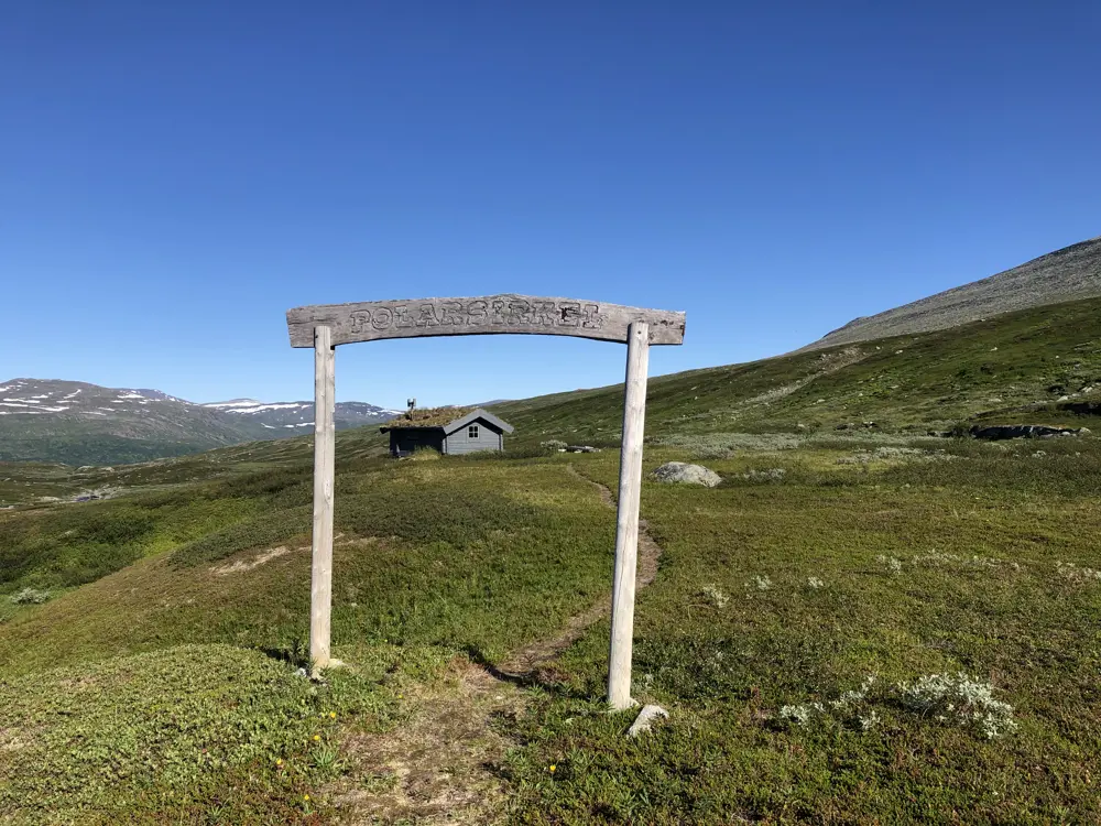
This part traverses open high mountain terrain, with most of the route at an altitude between 600 meters and 1000 meters above sea level. The highest point is 1081 meters above sea level, while the lowest point of the segment is at the starting point in Umbukta (534 meters above sea level). The three overnight cabins along the way are located by lakes. At Virvatnet, The Nordland trekking trail intersects with a hiking trail that runs from Krokstrand in the west to Ammernäs in the east, known as Vindelvaggileden.
There is active reindeer husbandry in the area. As a hiker, you have a responsibility to ensure that reindeer or reindeer husbandry is not disturbed. Dogs must always be kept on a leash.
Hiking description
32. section. Bolna - Virvatnet (25,1 km)
Hiking Description
From Bolnastua, the Nordlandsruta continues southward. First, you must cross the E6 and then Gubbeltåga/Gubbeltædno on a bridge. The trail ascends the slope after the bridge and continues southward along the slope until it joins a construction road. Follow the road further until about 1 km before the dam over Randalselva/Goabdesjåhkå. Here, the trail diverges, passing by Randalskåta and continuing to a bridge over the river. The trail then ascends the slope further south, on the west side of Tromberget/Goabdesbákte (1213 m above sea level). It then passes the height of approximately 1000 meters between Auronasa/Ávvronásje (1129) to the east and Tjårrås (1082) to the west. Just below the height and south of Daudmannselva/Ravgajohka lies Corraskoia. The river must be forded. The trail continues southwest and rounds the west side of Gaffelfjellet/Tjuoppsenbákte (909 m above sea level) before descending the slope towards Virvatnet/Viresjávrre and reaching the northwest end of the lake where Virvasshytta is located.
You can see a map of the section HERE.
You can read about cultural heritage sites along the section HERE.
Experiences along the way
- Randalskåta was built shortly after the war by farmers in Dunderlandsdalen who needed a shelter in the best hunting areas.
- Close encounter with Auronasen, which is a sacred Sami mountain.
- Corraskoia, equipped with a stove and firewood.
- The route crosses the trail to the Nasa silver mines. Mining activities from around 1635.
- There are several Sami cultural heritage sites in the Bolna area.
- During the war, there was a prisoner of war camp at Bolna station.
33. section. Virvatnet - Kallvatnet (21,3 km)
Hiking description
The trail starts southwest from Virvasshytta on a bridge over the outlet of Virvatnet. Just south of the bridge, the Nordlandsruta crosses the border trail between Krokstrand and Ammarnäs called Vindelvaggileden. The trail continues gently uphill west of Vardfjellet/Viresvárddo (877 m above sea level) and past Vardfjelltjønna. Then, the trail gradually descends towards Vardfjellkåta. It is a simple three-sided shelter that serves as an emergency shelter. South of the shelter, Stabburbekken/Njallajågåsj is crossed. The stream must be forded at two points. The trail passes on the west side of Gåstjønna and further to Kvepsendalstjønna/Goepsejaevrie. The trail runs along the east side of the lake and follows Kvepseldalselva/Goepsejohke southwest through slightly hilly terrain towards Kallvatnet. Southwest of Ardekfjellet/Artegevaerie (1157 m), Kvepsendalskoia is passed, which is also an emergency shelter. The trail descends Kvepsendalen/Goepsegovre on the southeast side of the river all the way to the end of the valley. Here, the trail turns directly south and descends into more wooded terrain before crossing Djupvasskardbekken and further down towards the east end of Kallvatnet and Kvepsendalsbukta. Just before the cabin, Litlumelva/Gievrejohka is crossed on a bridge.
You can see a map of the section HERE.
Experiences along the way
- Vardfjellkåta and Kvepsendalskoia are two emergency shelters with very basic standards.
- There are often reindeer in the area.
- Try your luck fishing in Kvepsendalstjønna.
- The trail passes through a landscape that has been used for reindeer husbandry for thousands of years.
34. section. Kallvatnet – Østre Sauvatn (15,4 km)
Hiking description
The trail starts southward and uphill, just south of the summit of Nordumfjellet (764 meters above sea level). The trail then follows the ridge to Litlumfjellet. Here, you reach a trail junction where Nordlandsruta continues westward and descends towards Sandtjønndalen. The trail crosses the forested and slightly marshy valley and ascends the slope, following the north side of the mountains to the south, with Krabbfjellet (882 meters above sea level) and Melkfjelltjønnan to the north. A valley between Saufjellet (1260 meters above sea level) to the west and Melkfjellet to the east opens up to the south, and the trail follows this valley up to the pass and then descends the slope to the north side of Østre Sauvatnet and continues to Sauvasshytta.
You can see a map of the section HERE.
Experiences along the way
- High mountain hike with tall peaks along the route.
- Eye contact with a glacier on Melkfjellet.
35. etappe. Østre Sauvatn - Umbukta (11,4 km)
Hiking description
The trail starts northwestward down through Sauvasskardet. In the middle of the pass, there is a trail junction. Nordlandsruta towards Umbukta goes southward before rounding the southeast side of Vestre Sauvatnet and further along the foot of Sauaksla (1324 meters) to the south. The trail follows the east side of Sauvassåga before passing through the pass between Litltoppen (876 meters above sea level) to the east and Kubben (1019 meters above sea level) to the west. From here, it descends the slope and enters more wooded terrain down to Umbukta.
You can see a map of the section HERE.
Experiences along the way
- Umbukta mountain lodge was put into use as a mountain lodge in 1873.
- There are traces of several trapping pits not far from the mountain lodge.
- The stretch is heavily used for reindeer grazing. If you encounter reindeer on the trail, take a break at a safe distance and enjoy the sight of the reindeer as they graze away.
Private accommodations
Accommodations DNT
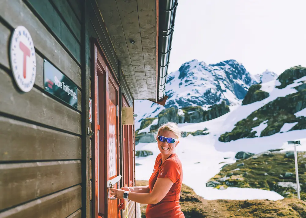
You will find links below the article to the cabins owned by the Norwegian Trekking Association (DNT).
Foto: Bjørn Finnes
Accommodations DNT
Se også


