The Nordland trekking trail: A Hiking Route Through Alpine Landscape
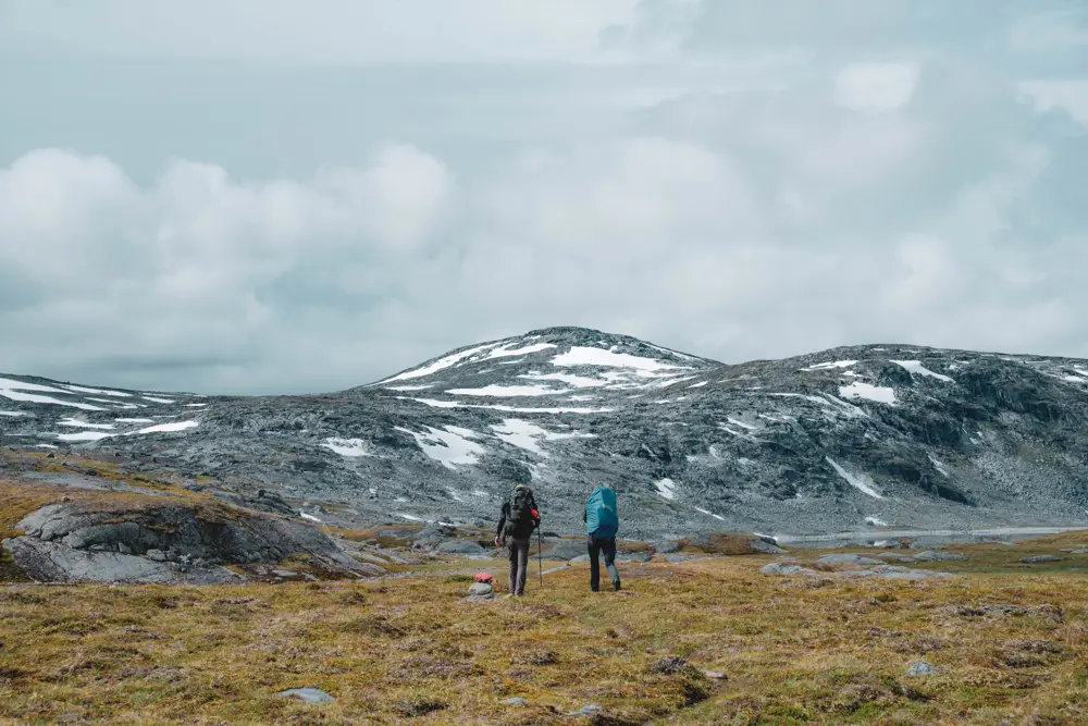
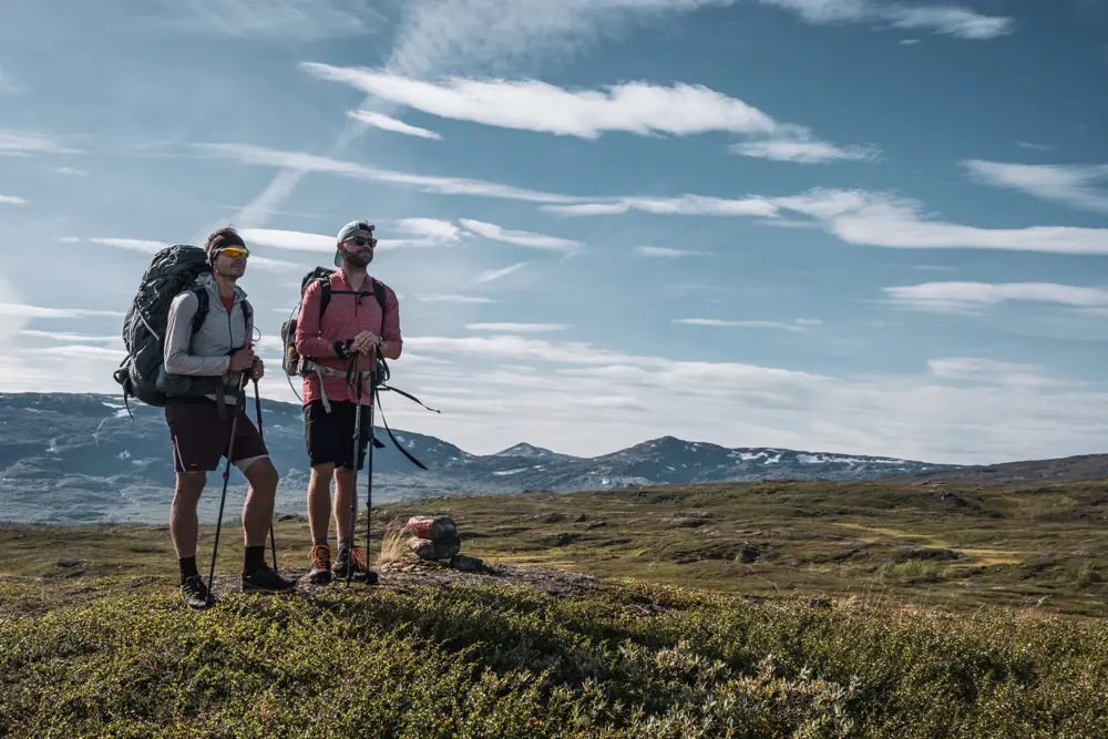
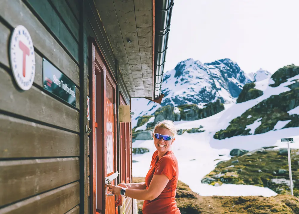
The Nordland trekking trail is a 650 km long marked hiking route along the border areas between Norway and Sweden, through Nordland county in the middle of Norway. It is split into 43 sections with accommodation options between each ection. The Nordland trekking trail has several access points, making it possible to walk one or more section of the route at a time. The route passes through three national parks, Laponia world heritage area, 13 Sami cities, and through a number of nature reserves.
Hiking description in English press her.
You can download GPX tracks over all the stages of the The Nordland trekking trail here.
Some of the experiences along the route:
- Close contact with five different glaciers
- Pass Northern Norway’s highest mountain (Oksskolten 1,916 meters above sea level) and second highest mountain (Suliskongen 1,908 meters above sea level)
- Cross The Arctic Circle
- Pass Norway’s second largest lake, Røssvatnet
- Go through three national parks and six nature reserves
- Go through thirteen Sami cities and five Sami language areas
- Go through the core areas in Nordland for cultural-historical use of nature for reindeer husbandry
- Walk in a 10,000 year old cultural landscape
- Pass 60 good fishing waters
Maps and information
You can download a high-resolution map of The Nordland trekking trail here
Find an overview of all the access points to The Nordland trekking trail segments here
“Turbok Nordlandsruta” is only available in Norwegian, but in it you will find both pictures and height profiles for each stage, and all the 43 accommodation sites. You can download the book here
For more information about The Nordland trekking trail, you can contact:
You can also find information about Nordlandsruta at www.ut.no by searching for Nordlandsruta.

Foto: Zdeno Dvorak
Se også


