Trip from cabin to cabin in Rondane - a classic rountrip
If you have four or five days at your disposal, and would like to experience Norway’s first national park, you should try this classic round trip through the Rondane mountains. The hike takes you around Rondane’s biggest continuous area of mountains, separated by Rondvatnet lake, and Illmanndalen and Langglupdalen valleys.
Publisert: 20. februar 2024
Inspirasjon
Quick facts about the trip in Rondane
Area: Rondane, Myldingi Nature Reserve, Rondane National Park, Frydalen protected area.
Type: Hiking tour
Classification: Blue | Medium
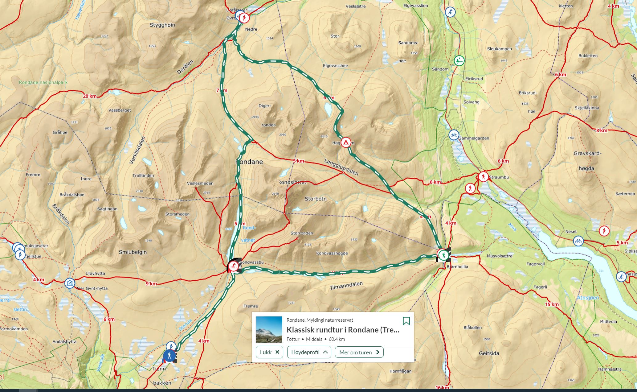
Length and duration: 60,4 km | 4 days | Round trip
Elevation profile: 2 355 elevation metres in total
Season: June - September
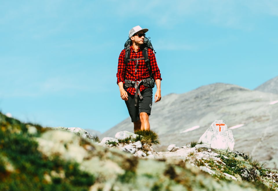
The mountain tops in Rondane include Rondslottet, Storronden and Smiubelgen. The glaciers have deposited a lot of rock in this area, so you need good mountain boots for this hike. The description below is based on Rondvassbu lodge serving as the starting point, but you can also start the round trip from the lodges Bjørnhollia or Dørålseter, and the hike can be done in both directions.
Tour description - day by day
Day 1: Spranget - Rondvassbu
Cycle or walk to Rondvassbu DNT lodge from the car park at Spranget above Mysuseter. Follow a 7-km gravel road to the lodge. A walk of approx. 2 hours. This short leg is a nice, gentle start to the hike, giving you the chance to enjoy views of many of the mountain peaks in Rondane.
Day 2: Rondvassbu - Øvre Dørålseter
From Rondvassbu, you head for Øvre Dørålseter private lodge. Start by taking the boat across Rondvatnet lake. From the end of Rondvatnet lake, it’s an approx. 3-hour hike to Øvre Dørålseter in easy terrain through the valleys Rondvassdalen, Bergedalen and Dørålen. If you don't want to take the boat across Rondvatnet lake, you can walk via Rondhalsen (16,9 km, approx. 2 hours extra).
The timetable for the boat across Rondvatnet is available on Rondvassbu’s website.
Day 3: Øvre Dørålseter - Bjørnhollia
You can choose between two routes on to Bjørnhollia from Øvre Dørålseter. You can hike across Høgronden (2,118 metres above sea level) where you are rewarded by fantastic views from the summit, but the hike is fairly challenging. Allow at least 9–10 hours for this hike (20,2 km). An easier option is to follow the route to Rondvassbu back to the path intersection above Bergedalstjønnen tarn and hike through Langglupdalen valley to Bjørnhollia. The hike takes roughly 7 hours (21 km).
Day 4: Bjørnhollia - Rondvassbu
The final leg of this round trip is a 12-km hike from Bjørnhollia to Rondvassbu through the Illmanndalen valley. This is an easy and beautiful hike along a number of lakes mixed with a huge moraine across the valley. Allow approx. 4 hours for this leg (12,4 km).
Day 5: Rondvassbu - Spranget
The same route as Day 1. Return to Spranget by foot or bike.
More details on ut.no
See the route in map and more tour facts on ut.no Ut.no is in Norwegian only, but is still useful for English language users. See the route in map, elevation profile, and find more tour facts in the tour description.