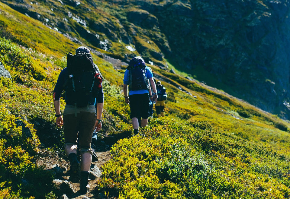
This tour is perfect for those who want to experience the majestic Jotunheimen mountains in the course of a weekend. You can admire spectacular summits, deep valleys and the beautiful Gjende and Bygdin lakes from the path.
Publisert: 20. februar 2024
Inspirasjon
Quick facts about the trip in Jotunheimen
Area: Jotunheimen, Jotunheimen National Park
Type: Hike
Classification: Red | Challenging
Length and duration: 45,4 km | 3 days | Round trip
Elevation profile: 1410 elevation metres in total.
Season: July - September
Tour description
Day 1 Fondsbu - Olavsbu (13,8 km)
If you start at Fondsbu lodge near Eidsbugarden, you’re already a good way into the Jotunheimen mountains. After spending a comfortable night there, you’re ready to set off for Olavsbu cabin. From the green mountainsides beside Bygdin lake, you head up into the high mountains, with the path taking you 1,600 metres above sea level. Take your time, as there are plenty of uphill climbs and screes, but the hike takes you through a majestic landscape, with views of summits and peaks as far as the eye can see. When you get to the cabin Olavsbu, you can enjoy a tasty meal made from the cabin’s stock of supplies.
Day 2 Olavsbu - Gjendebu (15,7 km)
The hike continues the following day to Gjendebu lodge, where the view across Gjende lake is worth the day’s hike alone. The path passes several lakes and maintains a steady altitude in slightly rocky terrain through Rauddalen valley.
Day 3 Gjendebu - Fondsbu (16 km)
You hike back to Fondsbu lodge on the final day, where crossing the fast-flowing river Høystakka (on a bridge!) is one of the highlights. The path crosses two all-year bridges across Storåe and past the path intersection to Torfinnsbu cabin and on up Veslådalen valley. When you spot Bygdin lake, the path steeply descends to the lake and continues along its banks to Fondsbu lodge.
Ut.no is in Norwegian only, but is still useful for English language users. See the route in map, elevation profile, and find more tour facts in the tour description.