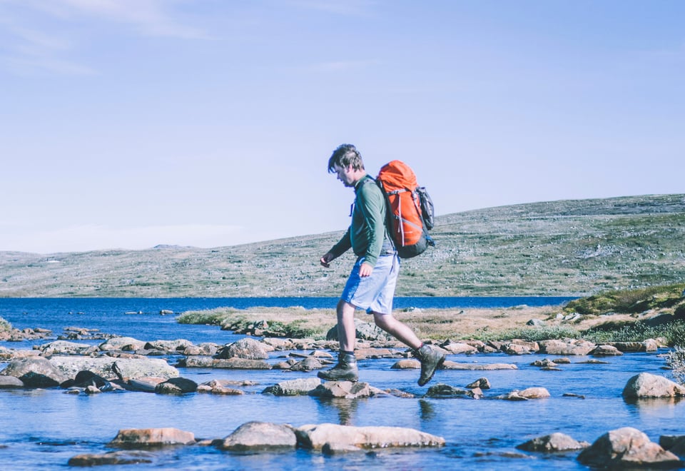
This tour is perfect for people who want to explore the Hardangervidda plateau, but do not want to do long, demanding legs that cover many metres in altitude. The hike is in beautiful, easy-to-walk terrain and is suitable for everyone interested in outdoor pursuits.
Publisert: 20. februar 2024
Inspirasjon
Quick facts about the trip on Hardangervidda
Area: Hardangervidda, Hardangervidda National Park
Type: Hike
Classification: Red | Challenging
Length and duration: 72,9 km | 4 days | Round trip
Elevation profile: 647 elevation metres in total.
Season: July - September
This 72.9 km journey, traversing beautiful, easy terrain, is suitable for outdoor enthusiasts of all ages. Whether you prefer hiking or running, the route offers short daily segments through gentle landscapes, making it perfect for a variety of adventurers.
Tour description - day by day
Day 1: Trondsbu - Sandhaug (14,5 km)
Starting at Trondsbu lodge means you’re already a fair way in onto the plateau. From there, you can do an easy three-hour hike on a good path to Sandhaug lodge. You can spend a few days at Sandhaug and enjoy hikes and delicious food, and then return to Trondsbu. This tour continues across the plateau however.
Day 2: Sandhaug - Lågaros (21,4 km)
The hike on day 2 covers the flattest part of the plateau, to the self-service cabin Lågaros. Walking under the expanse of the sky, lost in your own thoughts, gives you a special sense of peace. The path passes several pretty streams, lakes and small peaks that are great places to stop for a bite or a break to soak up the sun.
Day 3: Lågaros - Rauhelleren (21 km)
The next day’s hike takes you northwards on the Hardangervidda plateau to Rauhelleren. The path is in flat terrain, and takes you up several small summits and through the beautiful Geitvassdalen valley.
Day 4: Rauhelleren - Trondsbu (19,3 km)
There are a few ‘summits’ right behind Rauhelleren lodge, which seem massive after days of walking on the flat plateau. A hike up these summits provides a welcome change before the last leg back to Trondsbu.
Ut.no is in Norwegian only, but is still useful for English language users. See the route in map, elevation profile, and find more tour facts in the tour description.