To ensure that hikers and walkes know what to expect and to help people find the hikes and walks best suited for their ability, Norway uses a shared standard for grading marked paths and trails. The grading system is based on four difficulty leves, used both in Norway and internationally: green, blue, red and black. The trail grading colours and the difficulty level they represent in Norway are described below.
Publisert: 14. juni 2024
Artikkel
Green | Easy
Skills requriements:
Suitable for beginners
No special skills required.
Routes suitable for wheelchair / pushchair /stroller users are marked with a special symbol.
Elevation gain and length*
< 300 m
< 5 km
Type of path
Tarmac, gravel, forest roads and good quality paths.
Prepared paths and tracks enabling good accessibility.
Mostly shorter routes
Firm, even surface with no signifcant obstacles or stream crossings
Degree of elevation/ exposure
Moderate ascents, but no steep or difficult sections.
Blue | Moderate
Skills requirement:
Suitable for people with some experience walking in terrain
Average fitness level
Basic outdoor skills
Elevation gain and length*
< 600 m
< 10km
Type of path
Similar to green trails, but may have some more challenging sections
Possibility of easy stream crossings
Degree of elevation / exposure
Mostly moderate ascents with some steeper sections
Some sections may be challenging for people with fear of heights
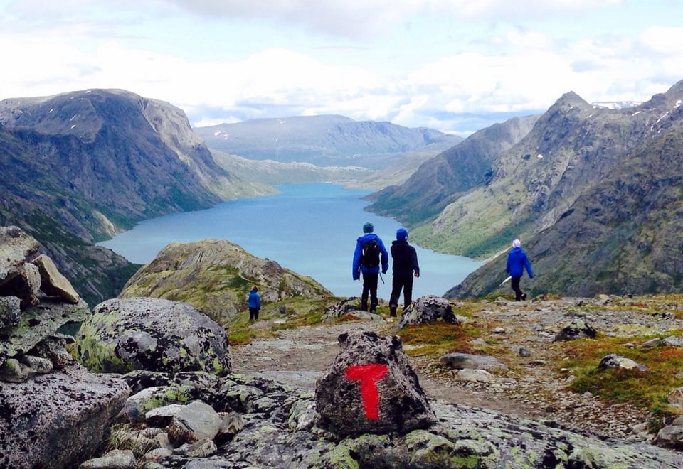
Red | Demanding
Skills requirements:
Suitable for experienced hikers
People with reasonable stamina
Good equipment and suitable footwear required
Navigation skills necessary.
Elevation gain and length*
< 1000 m
< 20 km
Type of path
Narrow paths, rocky and/or open (mountain) terrain'
Steep slopes and longer sections with loose rock or marsh possible
Potential for stream crossings
Degree of elevation / exposure
Varying degrees of ascent
Some exposed sections
Potentially technically demanding sections requiring scrambling and use of hands for support
Black | Expert
Skills requirements:
Suitable for experienced mountain hikers
Some endurance required
Good equipment and suitable footwear required
Navigation skills necessary.
Elevation gain and length*
No maximum ascent or distance
Type of path
Longer, more technical trips than ‘red’ routes
Demanding stream / river crossings possible
Degree of elevation / exposure
Typically summit hikes with steep ascents on uneven ground
Can have exposed sections requiring scrambling
Narrow ridges, bare rock, scree etc.
*Elevation gain and length refers ascent/descent and distances. Ascent refers to the total ascent in metres for the whole route (one-way). In very steep terrain, steep descents are also included in the grading. Descents are weighted 50% of ascents. Distance describes the total length of a route, one-way, in kilometers. For circular routes a special symbol is used. Distance in this case describes the length of the whole circular route in kilometers.