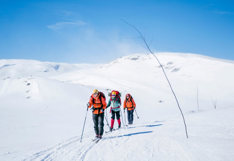
In winter, many of the most commonly used routes in the mountains of southern Norway are marked with birch twigs (“limbing”). These routes are set by experienced locals who know where it is safest and best to travel in winter conditions.
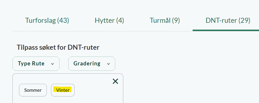
Find winter routes on UT
On ut.no/kart you will find an overview of ski slopes. The knotted trails are easy to distinguish by having a dotted blue line. These are trails that are only marked for parts of the winter (seasonally marked) and usually unprepared, for example DNT's winter routes/twig trails in the mountains from Trøndelag and southwards.
DNT has previously made a paper map or a pdf file with an overview of marked trails. We have now moved away from this because we want as fresh data as possible, and we get this by using UT.no.
Are you wondering what the conditions are like in the mountains right now? Our weather forecasts describe the conditions in selected mountain and hiking areas.
Major changes on Hardangervidda in 2026
In the winter of 2026, several of the winter routes on Hardangervidda will not be limbed, and several DNT cabins will have to remain closed.
Through the Right of Public Access you can still travel in the area, but you should then be familiar with navigation with a map and compass on the winter mountains.
For safety reasons, we recommend that you choose routes that have winter markings. Which routes have winter markings can be found on UT.no/kart
The winter routes in the mountains are marked with natural twigs. A few are marked with bamboo or plastic sticks. The mountain routes are only marked for parts of the winter, but a few are permanently marked with stakes, poles, paint on trees, plastic tape or in some other way. Almost all forest trails are permanently marked. The labelling is carried out by the tourist associations, hotels and local organisations.
Note:
In most places, the marking remains until it falls by itself, but the routes are not maintained after the dates given. In a few places, the twig is removed after the last anniversary date.
The marking may be delayed or fall away due to weather and driving conditions that make it impossible to put out the twig.
Routes that have been marked previously may have been removed this year due to increased risk of landslides or special considerations for wildlife.
Please note that the route into a cabin may be marked without the cabin being open because it leads on to another cabin that is open.
On ut.no/kart you will find an overview of the marked ski slopes.
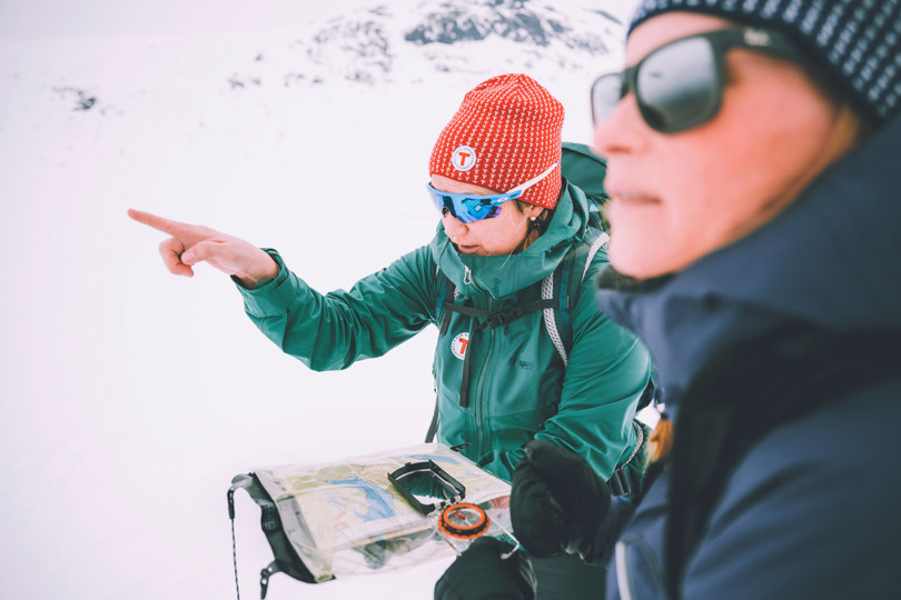
Always keep an eye on the map
Make it a habit to keep an eye on the map along the way so you always know where you are.
Although the marked winter routes are often a safe choice of route in the winter mountains, you cannot always rely on the markings. Twigs may have been blown down, nibbled up and eaten by reindeer, or the weather may mean that you cannot follow the markings. The twigs are no substitute for a map and compass, so always keep an eye on the map when you walk, so that you know where you are at all times.
There are many hiking maps that are adapted to different mountain areas and have the winter routes drawn. The Norway series 1:50,000 from Nordeca covers the whole country. If you use GPS, you must bring a paper map and compass anyway.
Do you need a map for the trip? In our online store you can buy hiking equipment and maps at a member price.
The weather in the winter mountains changes quickly
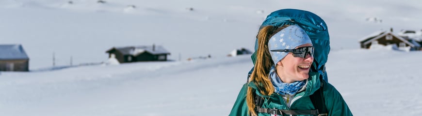
Skiing in the mountains offers great nature experiences, but requires knowledge from those who travel there. The weather changes can come suddenly, but if you are prepared and have the equipment and expertise required, there are many good experiences waiting for you!