How demanding is a “moderate” hike? And what separates an “easy” route from an “extra demanding” one? This guide explains how the grading system works, and what you should consider before heading out.
When planning a mountain hike, it's important to understand how trips are graded so you can choose a route that suits your fitness level and experience.
What does the grading mean?
The grading of a hike reflects both the physical demands (distance, terrain, and elevation gain) and the skills and equipment required.
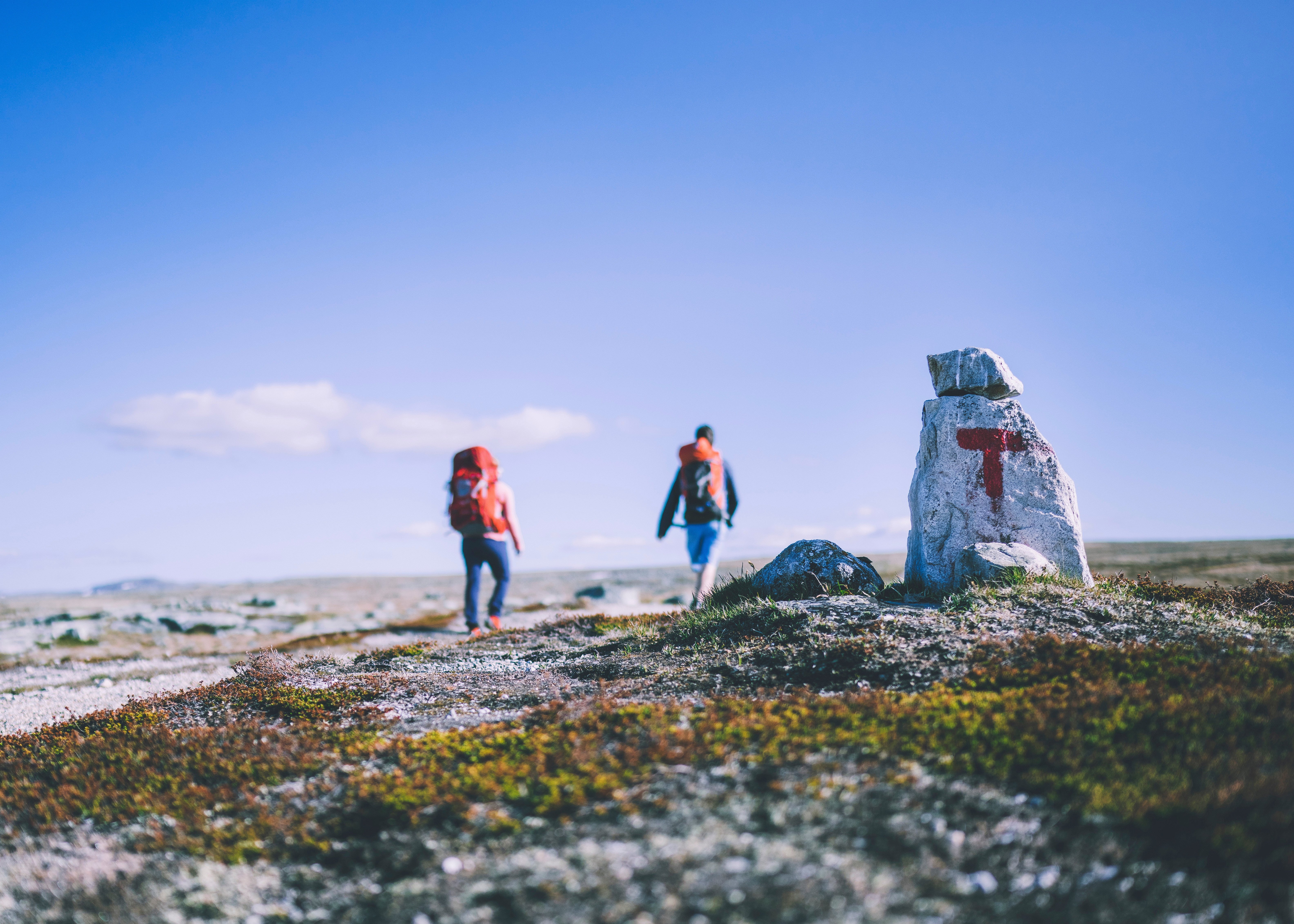
DNT's routes and trips are graded according to the Marking Handbook (Merkehåndboka). This grading will be familiar to many from international marking of alpine slopes (green = easy, black = demanding).
The different grades in the Marking Handbook are: Easy, moderate, demanding and extra demanding.
The grading is based on:
Total distance
Total ascent (elevation gain)
Terrain and surface
Steepness and exposure
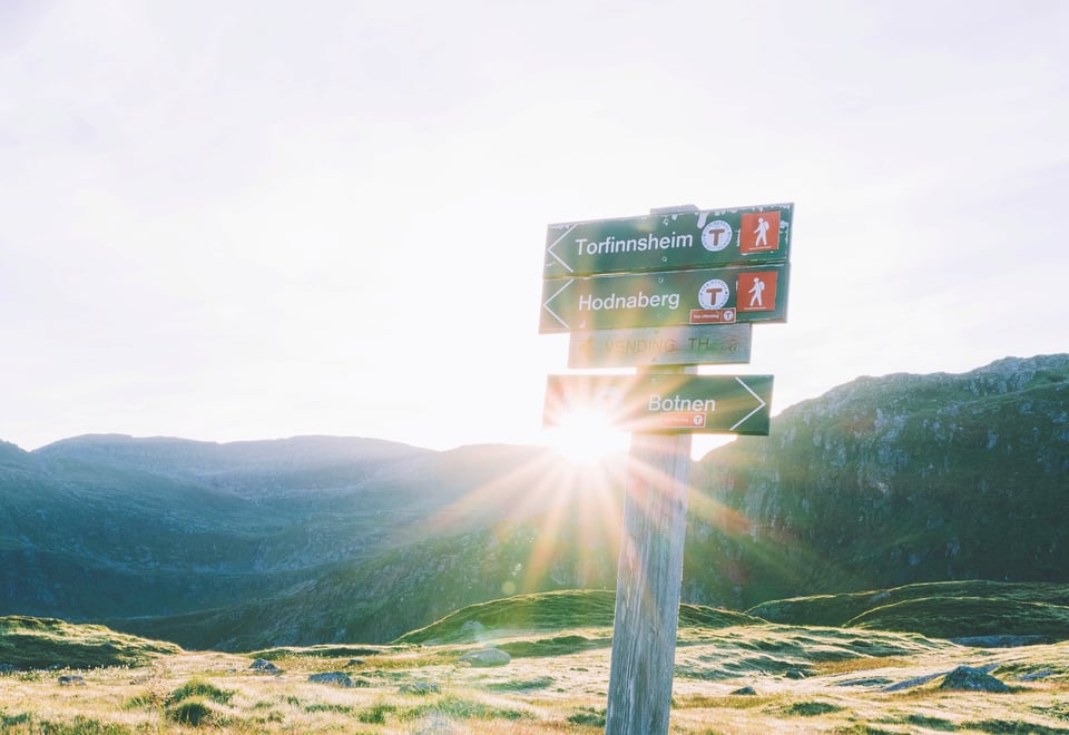
There are separate gradings for hiking, skiing and paddling. Below you will find the one for hiking.
How to choose the right hike
Understanding the grading system helps you plan a safer and more enjoyable trip.
Easy hikes are suitable for most people and follow well-prepared trails with minimal elevation.
Moderate hikes may be longer and include more varied terrain.
Demanding hikes require good endurance, experience, and proper equipment.
Extra demanding hikes involve steep, exposed, or technically challenging terrain.
Green = Easy
Easy hikes on well-maintained trails, often short with minimal elevation gain. Perfect for beginners and families.
Suitable For
Beginners.
Requires no special skills.
If wheelchair/stroller is accessible , this is marked with its own symbol.
Elevation, length and ascent
Altitude and length
less than 300 m of ascent in total
less than 5 km
Rise/exposure
Moderate climbs, but no steep or difficult sections.
Type of trail
Asphalt, gravel, forest roads and good paths.
Work carried out on paths to enable easy walking.
Firm, smooth and obstacle-free trail.
No streams to cross.
Blue = Moderate
Moderately demanding hikes with more varied terrain and some steeper sections.
Suitable For
Those with some experience in terrain
Moderately trained hikers.
Those with basic skills.
Elevation, length and ascent
Altitude and length
less than 600 m of ascent in total
less than 10 km
Rise/exposure
Moderate gradients that may include some steep sections
Some parties may be perceived as airy for some, especially those who are afraid of heights
Type of trail
May have more demanding sections than green hiking trail.
Can be rocky, but no scree.
Only simple wads.
Red = Demanding
Red is for the experienced, with long daily stages, a large difference in altitude and demanding surfaces.
Suitable For
Experienced hikers.
Those with good endurance.
Good equipment and hiking shoes are required.
Those with knowledge of maps and compasses.
Elevation, length and ascent
Altitude and length
less than 1000 m of ascent in total
less than 20 km
Rise/exposure
Several types of climbs and challenges
More airy and exposed sections
May contain technical challenges with some scrambling and use/support of the hands
Type of trail
Trail, open terrain, rocks, scree and bare mountains
Steep slopes and longer stretches of loose rock and marsh may occur
Wading may occur
Black = Extra demanding
For the toughest rides, you'll find black, which requires very good endurance and technical skills.
Suitable for
Experienced mountaineers
Those with good endurance
Good hiking equipment and good hiking shoes are required
Knowledge of maps and compasses
Elevation, length and ascent
Altitude and length
No max height or length
Rise/exposure
Summit tours with steep and difficult sections with uneven ground
Airy sections and passages/sections with deferred splitting
Narrow edges, swabs, watches etc.
About altitude meters
*By altitude meters, we mean the total ascent for the entire hiking route. In very steep terrain, altitude meters with descent must also be taken into account in the grading. The descent should be given half the weight of the ascent. Length describes the total length in km of the hiking route from one specified point to another, i.e. one way and not the round trip. For round trips, there is a separate symbol and then the entire length of the round trip is used in the number of km.
Estimating Hiking Time
Estimated hiking times on marked mountain trails are based on an average adult carrying a standard 10 kg backpack:
Horizontal Speed: 3.5 km per hour (approximately 17 minutes per km).
Ascent: Allow an additional 15 minutes per 100 meters of elevation gain.
Rest Breaks: Add 1 hour of total break time for every 5 hours of hiking for adults.
Children under 10: Double the calculated adult hiking time.
Children over 10: Add 50 percent to the calculated adult hiking time.
Walking time for an adult is therefore calculated as follows:
Number of km x 17.14 + (15 x every hundred meters of elevation) / 60
Example: A 2.8 km hike with an 85-meter elevation gain (rounded to 100 meters) requires approximately 1 hour of active walking time.
2.8 x 17.14 + (15 x 1) / 60 = 1.05
= 1 hour walking time
The Brand Manual
The label handbook is a consensus result of broad cooperation between outdoor recreation organizations, the tourism industry and public authorities. The Norwegian Trekking Association (DNT), Innovation Norway and the National Association of Outdoor Councils (FL) have editorial responsibility for the Brand Handbook.