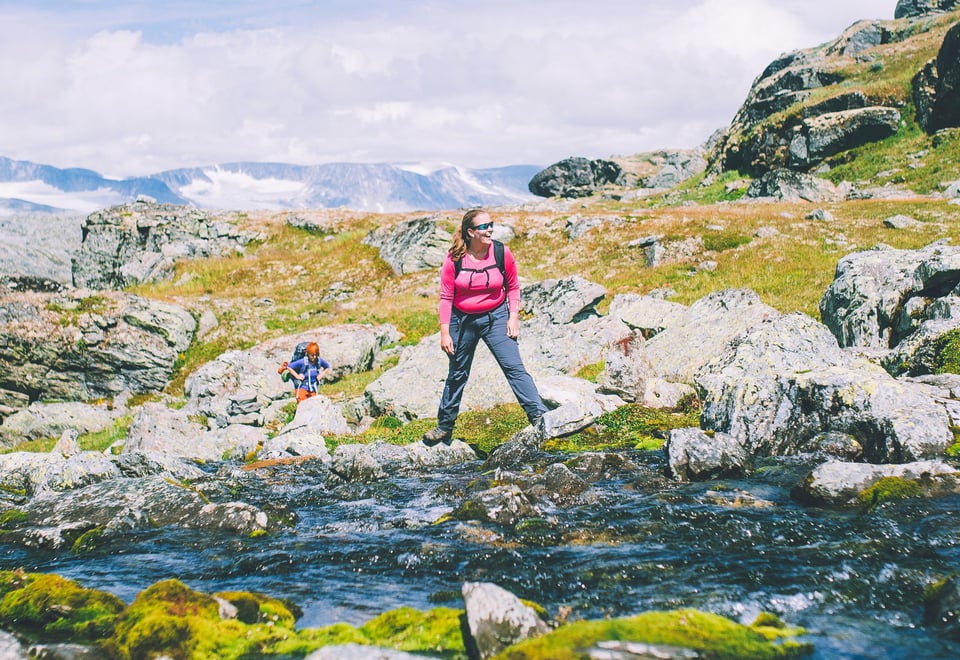
The route goes from the rugged terrain of Breheimen and the steep peaks of Jotunheimen, continuing into the verdant Skarvheimen before crossing the vast Hardangervidda plateau. This journey covers a wide variety of terrain and natural landscapes.
Starting at Sota Sæter in Breheimen and ending at Haukeliseter, MASSIV takes you through four distinct Norwegian mountain areas.
You can complete the entire MASSIV route in a single journey or tackle it stage by stage over several seasons. The route is divided into four stages, one for each mountain area, allowing you to plan according to your preferences.
Maps & Planning
Thorough planning is essential. It is important to secure the correct hiking maps for MASSIV before setting out. Maps can be purchased at the DNT Tour Centre (Tursenteret) at Storgata 3 in Oslo, or via our online store.
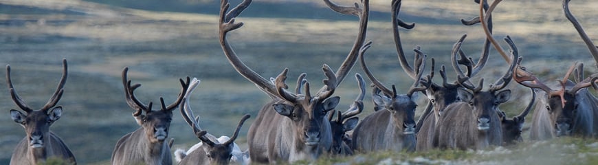
Be considerate of the wild reindeer on a trip
The wild reindeer's habitats are under pressure. This is how you can pay attention if you are in a wild reindeer area.
The entire route follows the Norwegian Trekking Association's (DNT) marked trails, with accommodation in serviced and self-service cabins. This allows you to pack light, as there is no need to carry a tent, sleeping bag, or food supplies.
Registration and SjekkUT
You can register your cabin visits along the route using the SjekkUT feature in the UT app. Follow the official SjekkUT list for MASSIV to log your progress.
Hall of Fame
Once you have completed all four mountain sections, you qualify for a place in our Hall of Fame and get the opportunity to obtain the official MASSIV badge and t-shirt as proof of your achievement.