DNT's marked trails and routes
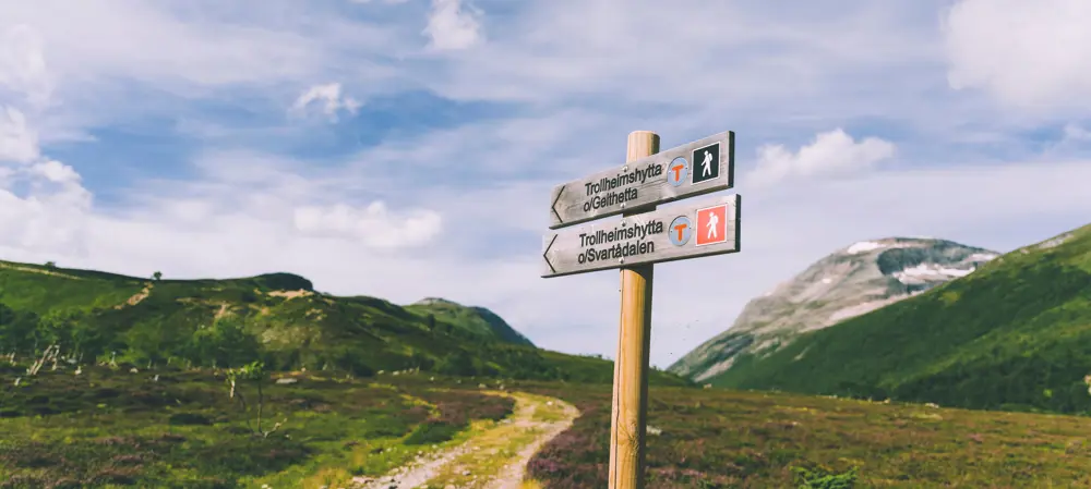
DNT has around 20,000 kilometers of marked summer routes across the country, and 4300 kilometers of marked winter routes in southern Norway. They show you a safe way between the cabins and often bring you to the most beautiful viewpoints. In addition, they make sure to channel the traffic, so that both vegetation and wildlife can live undisturbed outside the hikers' routes.
The routes in the mountains are usually marked with small cairns. To let you know that you are on a DNT trail, some of the cairns are marked with a red T. The red color is visible even in fog and gray weather. The advantage of using cairns is that the cairns can be removed if the path is to be rerouted or lowered. In wooded areas and along the coast, the cairns are often replaced by a painted blue stripe on trees or erected poles.
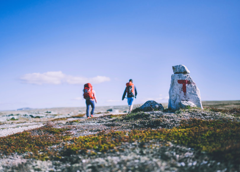
Cairns
In the mountains, the DNT routes are marked with cairns, systematically stacked stones. Many of the cairns are provided with a smaller red T as a signature, but it is the cairn itself that should guide you on the right path and not the T's. Most T's are painted on loose stones and not directly on the rock, although it can occur. In some places, red rings may be marked on tree trunks or poles.
T-marks
In some places, there are large painted T's as a replacement for cairns, for example where there are no stones for cairn construction and where snow and avalanches in winter can carry away the cairns. In such places, you will also be able to find permanent stakes, often with a red ring around or a red top. Stakes can also be found over marsh areas. Cairns are also used in the mountain forest, but here it is more common to have red rings or red T's painted on trees.
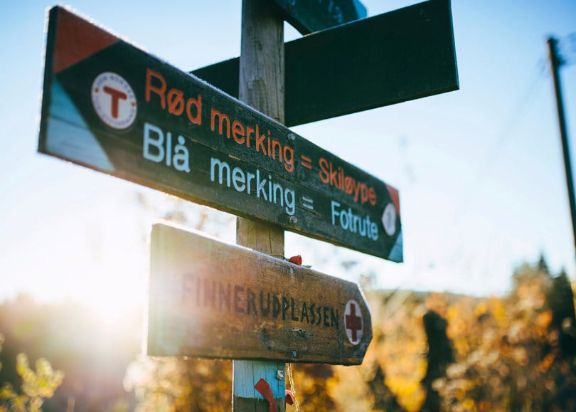
On some routes, red lines or spots have been used instead of T's. In some places where there are permanently fenced ski trails, the summer route can follow the same route. The routes that are marked in red are sometimes called T-marked trails, T-paths, DNT trails or DNT routes. As a rule, there will be a path or a path that makes it easy to find where the route goes, but be aware that newly marked and little-used routes often have no footsteps. Old paths and animal tracks may be clearer than the described route. Therefore, it is important to keep an eye on the labelling to know that you are on the right track.
Most often, the mark is so close that you can see from mark to mark, but where the path is clear, the distance between the marks can be considerably greater.
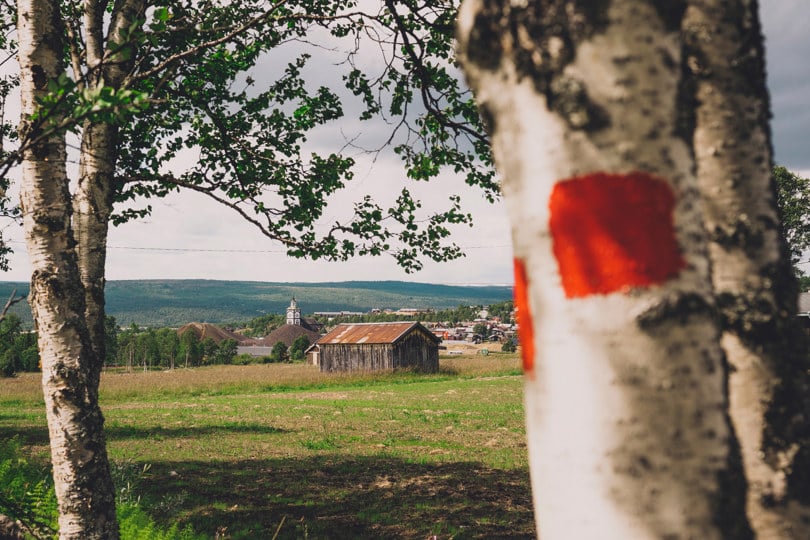
Blue marking
In contiguous forest areas, such as Oslomarka and Finnskogen, the summer trails are usually marked in blue. Either with blue rings around smaller trees, blue lines on larger trees or painted on stone.
The areas where the summer routes are blue-marked, the ski slopes are often red-marked. But the ski slopes are never marked with red T's, they often go straight over marshes and water and are rarely good routes for those who travel on foot.
Different quality
The labelling is not equally good everywhere. It may be a long time since the route has been marked and not all markings are equally dense or accurate. There are also T-markings and other markings that are not done by DNT. It may have a different quality.
Regardless of the marking, you will need a map and compass, both where you are familiar and where you have never walked before. Especially in poor visibility, it is important to be able to orient in order to be able to find your way around the routes.

You can also read more about marking in the Marking Handbook - Handbook for facilitation and marking of hiking routes in the mountains, forests and along the coast, which is published by the Norwegian Trekking Association, the Norwegian Coastal Association and the National Association of Outdoor Councils.
Twig routes in winter
In winter, the most used routes are marked around Easter time, as well as some routes as early as February. The twigs are placed at such a distance that you should be able to see the next twig even in heavy snowy weather.
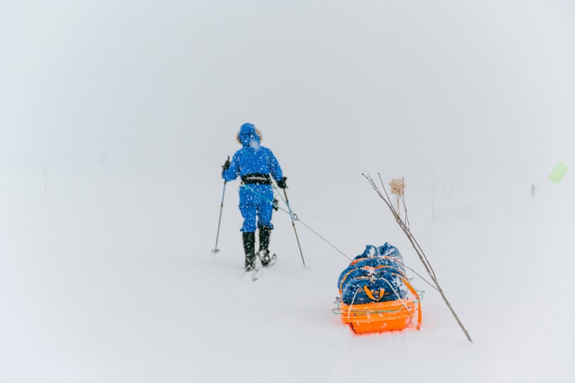
The twig map shows an overview of which routes are marked at Easter. Before and after Easter, there are fewer open cabins and routes that are marked. The routes that are marked for a longer period of time can be found in the overview of marking periods.
Also check our weather forecasts for updated information about the conditions in selected hiking and mountain areas.
Read more about winter marking and limbing
Walking times
The stated times on the routes on UT.no indicate the walking time for an adult in normal good shape. The estimate applies to normal weather and driving conditions without snow or unexpected wading. If it is particularly wet or the route is completely or partially covered with snow, the walking time may be much longer than indicated. The times are pure walking times.
In addition, there is time for rest and rest. How often and for how long you want to rest is up to the individual. Our advice is that you at least count on an extra hour on trips with walking time of up to 4-5 hours and more on longer trips. The time you are out for a walk will therefore always be longer than the walking time. Most often, there is no point in arriving early at the cabin, but to spend the day out hiking.

Our estimate does not necessarily match your walking speed. After a few trips, you will get a basis for estimating your individual time in relation to the one we provide. Some walk easier in steep terrain than others, some are fast in marshes while others go fast on long surfaces or they don't like to go fast at all.
With children, you should allow much more time than stated, especially if the children are not used to going for longer walks. A starting point may be that the walking time must be doubled for children under the age of ten and that it should be extended by fifty percent for older children.
Read more about time spent: How long does the trip actually take?
Snow and glaciers
Where the snow lies for a long time during the summer, it can hide the cairns. Large snow patches that lie all summer can make it impossible to mark so densely that it is easy to see from cairn to cairn. In poor visibility and fog, it can be impossible anyway.
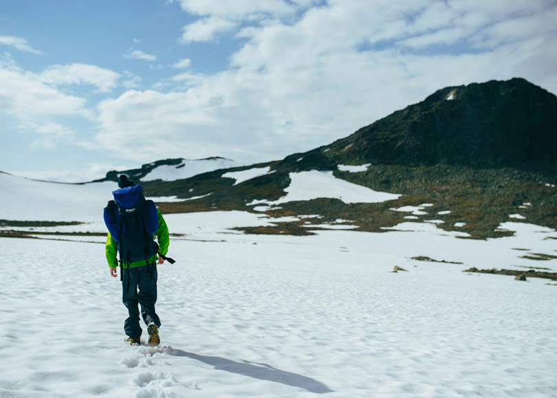
Fresh snow can cover both paths and cairns. Where there is enough traffic, there will gradually be clear trampling over the snowdrifts. Then it is easy to find your way around if there is no new snow. Where there is little traffic, there will be no tracks to follow. The pedal can go straight over snow bridges that hide deep cracks, where you can fall through even if the bridge has carried others just before.
Over glaciers, there can also be clear trampling, but you must not follow this without ropes, equipment and glacier knowledge.
Bridges
Most bridges are mentioned in the route descriptions on UT.no. They are either permanent year-round bridges or summer bridges. Where we do not know what type of bridge it is, it only says bridge. The summer bridges are dismantled in the autumn and only put up again when the snow has melted in the summer the following year.
Usually this happens when the serviced cabins in the area open. Snow that hides the bridge abutments can delay the laying in some years. The summer bridges are often taken down when the serviced cabins close in the autumn. They must not be reassembled.
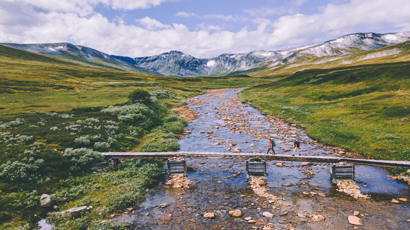
When the bridges are not in place, it can mean that it becomes impossible to follow the routes in the area because the rivers cannot be passed. On newer hiking maps, the summer and year-round bridges are usually shown with their own signs, but the bridges along the paths are not always marked.
The sign on the main map series Norway 1:50,000 means year-round bridge. The summer bridges are not drawn here. Also on these maps, there may be bridges that are missing and drawn bridges that have disappeared. DNT's member associations with cabins in the area can often answer which bridges are taken in in the autumn. The status of the bridges can change over time.
See also
