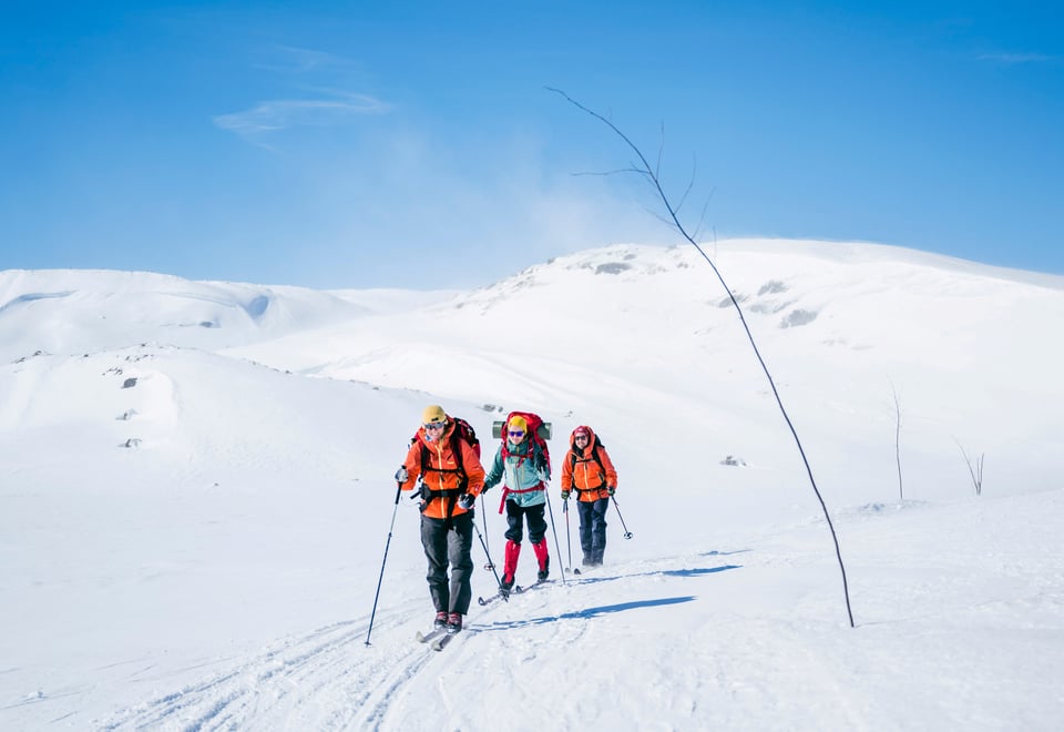
In winter, many of the most commonly used routes in the mountains of southern Norway are marked with birch twigs (“limbing”). These routes are set by experienced locals who know where it is safest and best to travel in winter conditions.
Find winter routes on UT
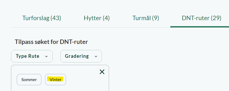
On ut.no/kart, you will find an overview of winter routes.
Seasonally marked winter routes (such as DNT’s twig routes) are shown as dotted blue lines. These routes are:
Marked only during parts of the winter season
Usually not groomed
Common in mountain areas from Trøndelag and southwards
DNT no longer publishes static maps (PDF or paper) of winter routes. Instead, we recommend using UT.no, where you will find the most up-to-date information.
Are you wondering what the conditions are like in the mountains right now? Our forecasts on UT describe the conditions in selected mountain and hiking areas.
Major changes on Hardangervidda in 2026
In the winter of 2026, several of the winter routes on Hardangervidda will not be limbed, and several DNT cabins will have to remain closed.
Through the Right of Public Access you can still travel in the area, but you should then be familiar with navigation with a map and compass on the winter mountains.
For safety reasons, we recommend that you choose routes that have winter markings. Which routes have winter markings can be found on UT.no/kart
Winter routes in the mountains are mainly marked with:
Natural birch twigs
In some cases, bamboo or plastic poles
Most mountain routes are only marked during parts of the winter. A few routes may have more permanent markings, such as:
Stakes or poles
Painted markers on trees
Plastic tape
In forest areas, trails are often permanently marked.
Marking is carried out by local trekking associations, cabins, and other organisations.
Note:
Marking is not maintained continuously after it has been set
Twigs may fall over, be buried in snow, or be removed by weather or animals (such as reindeer)
In a few places, the twig is removed after the last anniversary date.
Marking may be delayed or not set at all due to weather conditions
Some routes may be removed due to avalanche risk or wildlife considerations
A route leading to a cabin may be marked even if the cabin itself is closed, as it may continue to another open cabin
On ut.no/kart you will find an overview of the marked ski slopes.
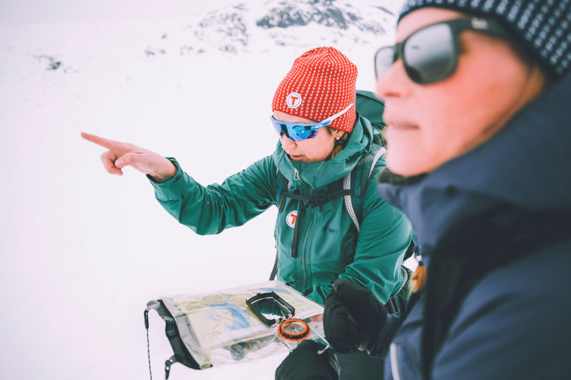
Always keep an eye on the map
Make it a habit to keep an eye on the map along the way so you always know where you are.
Marked routes are helpful, but they are not a substitute for navigation skills.
You should always:
Carry a map and compass
Regularly check your position along the route
Even if you use GPS, you must bring a paper map and compass as backup.
There are many hiking maps available for different mountain areas that have the winter routes drawn. The Norway Series 1:50,000 (Nordeca) covers the entire country and includes many winter routes.
Do you need a map for the trip? In our online store you can buy hiking equipment and maps at a member price.
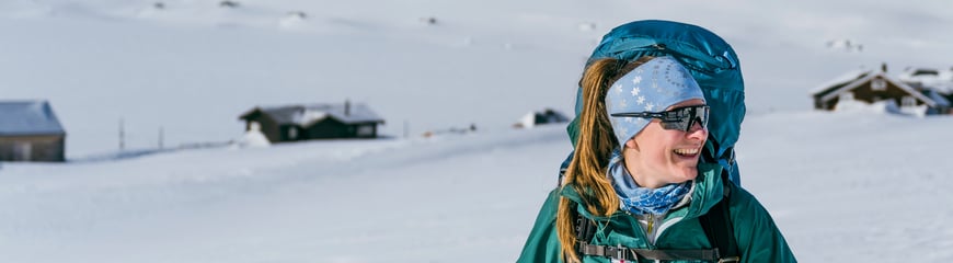
The weather in the winter mountains changes quickly
The weather in the mountains can change quickly. Even on marked routes, conditions may become challenging.
Ski touring in the mountains offers fantastic experiences, but requires:
Good preparation
The right equipment
Knowledge of winter conditions
If you are well prepared, you will greatly increase your chances of a safe and enjoyable trip.