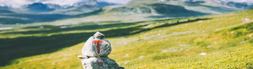
How challenging is a "moderate" hike, and what distinguishes an "easy" hike from a "demanding" one? When planning a mountain hike, it is important to understand how hikes are graded so you can choose a route that matches your fitness and experience. In this guide, we explain how the gradings work, what you should consider before setting out, and give you tips to find the perfect hike – whether you are a beginner or an experienced hiker.
Published: March 21, 2025
DNT's offer
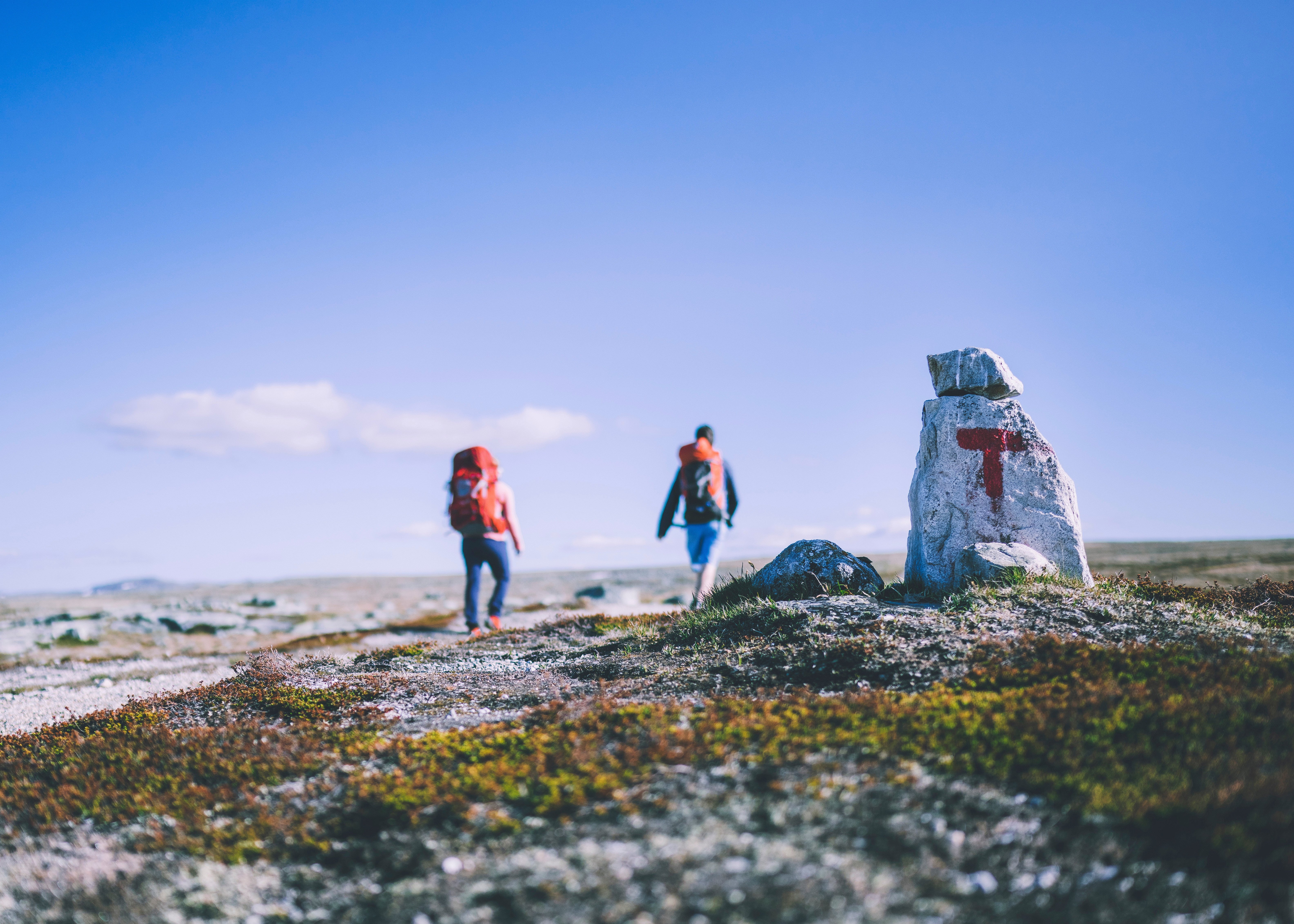
What does the grading mean?
Norway's grading system is based on four difficulty levels used both nationally and internationally:
Green
Blue
Red
Black.
How to choose the right hike for your level
When choosing a hike, it is important to understand what the different difficulty levels mean. An easy hike is suitable for most people, with even terrain and little elevation gain, while a moderate hike may have longer distances and more varied terrain. Demanding hikes require greater endurance, technique, and experience, and the most challenging routes can include steep climbs and rough terrain. By understanding the gradings, you can better plan your hike and ensure a safe and enjoyable outdoor experience.
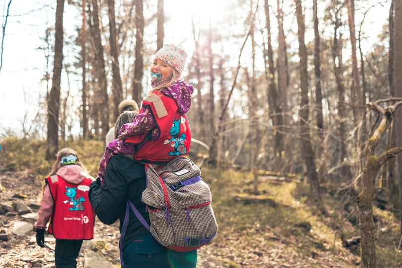
Green = Easy
Green means an easy hike on good paths, often short and with little elevation gain – perfect for beginners and families
Suitable for
Beginners
Requires no special skills
Mainly short walks
Special symbols mark areas suitable for wheelchair users/prams.
Elevation gain, length, gradient and exposure:
Elevation gain:
< 300 m
< 5 km
Gradient/exposure:
Moderate ascents, but no steep or difficult sections.
Type of path:
Tarmac, gravel, forest roads, and good quality paths
Work done on trails to enable easy walking
Firm, even surface, and obstacle-free path.
No streams to cross.
Blue = Moderate
Blue indicates moderately challenging walks and hikes, where you may encounter steeper sections and more varied terrain.
Suitable for
Those with some experience walking in terrain
Those with average fitness level
Those with basic outdoor skills
Elevation gain, length, gradient and exposure:
Elevation gain:
< 600 m
< 10 km
Gradient/exposure:
Moderate ascents that may include some steep sections
Some sections may be considered airy to some
Type of path
May have more challenging sections than green trails
Can be rocky, but no scree
Only simple stream crossings
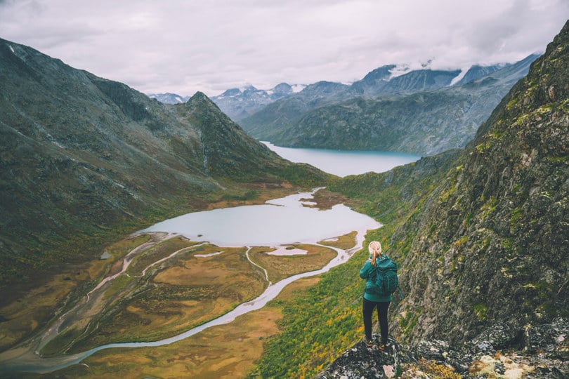
Red = Challenging
Red is for experienced hikers, with long day stages, significant elevation differences, and demanding terrain..
Suitable for
Experienced hikers
Those with good endurance
Requires good equipment and hiking boots
Those with knowledge of map and compass
Elevation gain, length, gradient and exposure:
Elevation gain and length:
< 1000 m
< 20 km
Gradient/exposure:
Several types of ascents and challenges
Several precipitous and exposed sections
Can include technical challenges with some scrambling and use of hands for support
Type of path:
Narrow paths, rocky and/or open (mountain) terrain, scree and rugged mountains.
Steep slopes and longer stretches with loose rock and marsh may occur
Stream crossings may occur.
Black = Expert
The toughest hikes are the black ones, which requires very good endurance and technical skills.
Suitable for
Experienced mountain hikers
Those with good endurance
Requires good outdoor equipment and sturdy mountain boots
Those with knowledge of map and compass
Elevation gain, length, gradient and exposure:
Elevation gain and length:
No maximum elevation or length
Gradient/exposure:
Summit hikes with steep ascents and difficult sections on uneven ground.
Can have precipitous and exposed sections, requiring scrambling
Narrow ridges, bare rock, scree etc.
About elevation gain and length:
Elevation gain refers to the total ascent in metres for the entire route (one-way). In very steep terrain, descent elevation must also be included in the grading. Descents are weighted 50% of ascents.
Length describes the total length of a route, from one specified point to another (one way), in kilometres. For circular routes, a special symbol is used, and the kilometres describes the entire length of the circular route.
The Brand Manual
The label handbook is a consensus result of broad cooperation between outdoor recreation organizations, the tourism industry and public authorities. The Norwegian Trekking Association (DNT), Innovation Norway and the National Association of Outdoor Councils (FL) have editorial responsibility for the Brand Handbook.