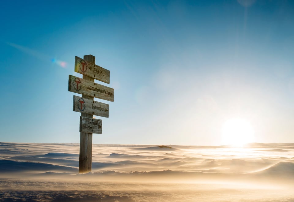
Are you going on a skiing tour? Green, blue, red, and black routes indicate the difficulty level of the ski trails and ski tours.
Published: March 21, 2025
DNT's offer
What does the grading mean?
To help skiers find their way in the Norwegian mountains and forests, and to ensure they choose the tour that best suits their abilities, Norway uses a common standard for grading all its marked trails and routes. Trails and routes are all color-coded to let skiers know what to expect.
What does green, blue, red and black grading mean?
Norway's grading system is based on four difficulty levels used both nationally and internationally: green, blue, red, and black. The colour codes for the trails and routes (and the corresponding difficulty levels) for skiing are as follows:
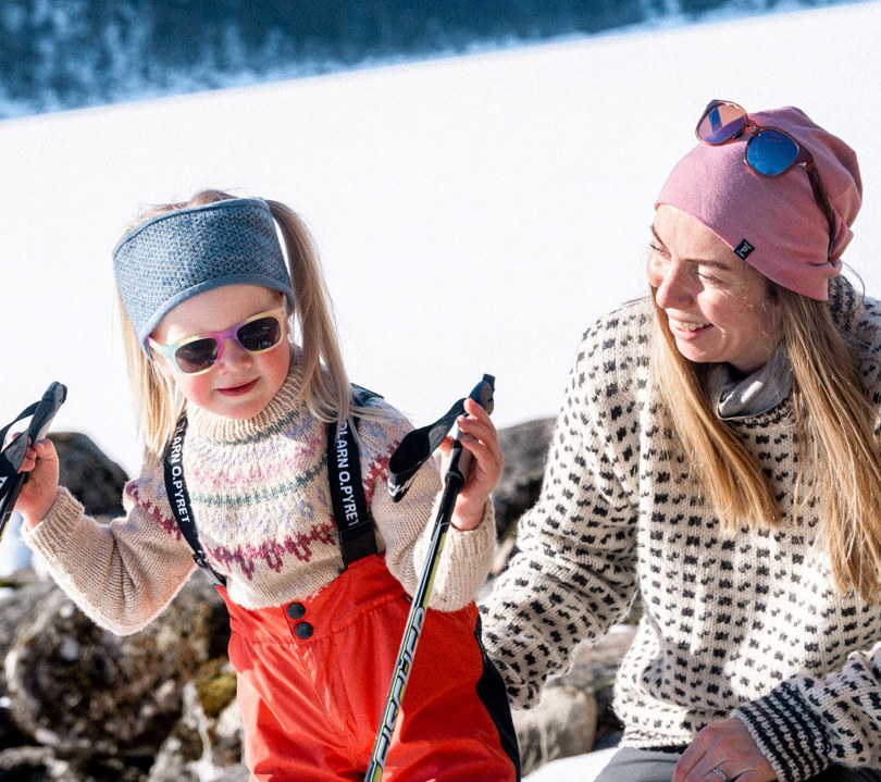
Green = Easy
Suitable for beginners and families, with short distances, little elevation gain, and even terrain, often in groomed trails.
Suitable for
Beginners
Requires no special skills
Elevation gain
<100 m
Trail type
Short trails without hills requiring "plowing" or "herringbone" skiing techniques.
If the trail is snowmobile-groomed, it should be almost completely flat
Must be in protected terrain – not above the treeline.
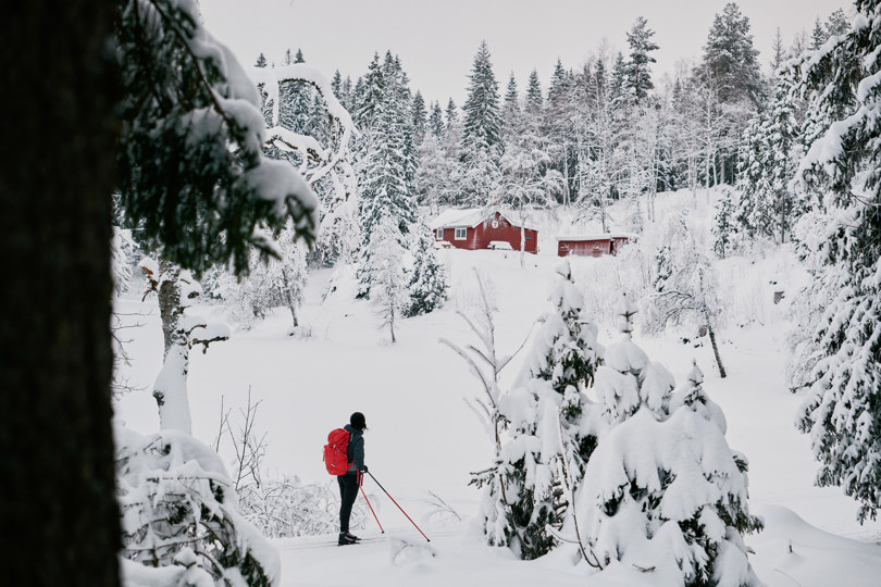
Blue = Moderate
Suitable for those with some experience. Blue trails and tours have longer distances, small hills, and more varied terrain, but still without major technical challenges.
Suitable for
Moderately well-trained skiers
Basic skiing skills
Elevation gain
<300 m
Trail type
More demanding trails in forest terrain
The downhill sections can be skied without major skill requirements
Can go above the treeline, but not exposed to weather over long stretche
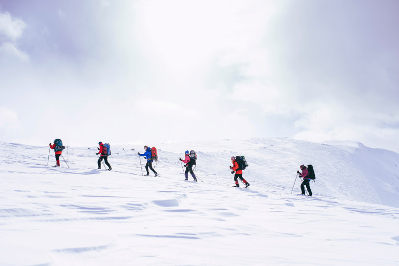
Red = Demanding
For experienced skiers. Red trails and tours have steeper climbs, even longer distances, and more challenging terrain that requires good endurance and technique.
Suitable for
Experience and well-trained skiers
Requires good equipment according to conditions and good endurance
Knowledge of map and compass required
Elevation gain
<600 m
Trail type
Waymarked trails in high mountain terrain, lengthy and demanding trails, often ungroomed
The trails may be located in mountain areas without mobile coverage.
Black = Expert
Only for very experienced skiers. Black trails and tours have steep and exposed sections, challenging navigation, and possible avalanche danger. Expert skiing skills and high level of safety assessment skills is necessary.
Suitable for
Experienced and well-trained skiers
Requires good equipment according to conditions and good endurance
Knowledge of map and compass required
Elevation gain
No max
Trail type
Longer and more demanding trails than red, with partly steep climbs up and down
Trails can be in mountain areas without mobile coverage and are usually ungroomed
About altitude meters
*By altitude meters, we mean the total ascent for the entire hiking route. In very steep terrain, altitude meters with descent must also be taken into account in the grading. The descent should be given half the weight of the ascent. Length describes the total length in km of the hiking route from one specified point to another, i.e. one way and not the round trip. For round trips, there is a separate symbol and then the entire length of the round trip is used in the number of km.
The Brand Manual
The label handbook is a consensus result of broad cooperation between outdoor recreation organizations, the tourism industry and public authorities. The Norwegian Trekking Association (DNT), Innovation Norway and the National Association of Outdoor Councils (FL) have editorial responsibility for the Brand Handbook.