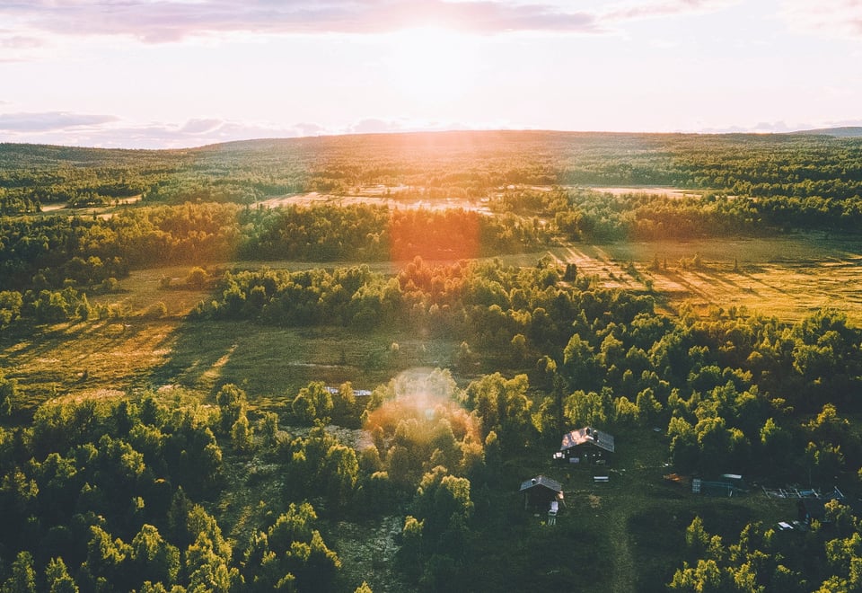
The Rondande Trail stretches from Bjørvika in Oslo to Hjerkinn in Dovre and offers a long hike through cultural landscapes, forested hills, soft eastern mountains and high peaks in Rondane.
Published: March 04, 2025
Inspiration
A collaborative project
Rondanestien - From fjord to mountain is a collaborative project between DNT Oslo and Omegn, Nannestad Municipality, Eidsvoll Municipality, Hamar and Hedmarken Trekking Association and Lillehammer and Omland Trekking Association.
Trip
The trail stretches from Bjørvika in Oslo up through Nordmarka and Romeriksåsene to Nannestad. It passes on the north side of the main airport, and passes the Eidsvoll building. The trail crosses Vorma south of Mjøsa and stretches out over the Hedmark plateau on the east side of Mjøsa.
It turns north just east of Lillehammer, and rides the ridge on the east side of Gudbrandsdalen. It enters the trail network in Rondane at Gråhøgdbu, and crosses Rondane from south to north. The trail ends at Hjerkinn in Dovre. The Rondanesti trail is 460 km long and there are accommodation options along the entire route.
The goal of Rondanestien
Our goal has been to create a continuous trail from fjord to mountain, as well as lead this past several of the cultural treasures eastern Norway has to offer. We have established accommodations all the way along the trail, with the exception of a stretch through Nannestad and Eidsvoll, where there are other alternatives.
If you complete the entire trail, you have earned the Ronde mark. In addition, you get an honorable mention under the Rondane label.
Map of Rondanestien
All information about the trip can be found on ut.no. Here you will find stage descriptions, cabins and maps of the entire route.