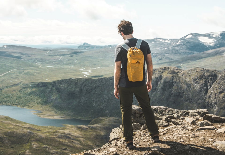
Jotunheimen is an eldorado for those who want to climb peaks and mountains of over 2000 meters. With a number of serviced DNT cabins as a starting point, you can spend several days in a cabin and explore the peaks of Norway's most visited national park.
Published: February 26, 2025
Inspiration
Knutshøe
Starting point: Gjendesheim. Drive to the rest area at Highway 51. Distance: 12.3 km Grading: Demanding
In the far east of Jotunheimen we find the beautiful mountain Knutshøe (1517 m.a.s.l.), the lesser-known neighbor of Besseggen. The trip offers a varied terrain, beautiful nature and fantastic viewpoints.
Besshøe
Starting point: Gjendesheim Distance: 22.5 km Grading: Demanding
The queen at Gjendesheim is Besshøe. View of Norway's highest mountain peaks, the Gjende Alps and is surrounded by beautiful waters. Both Gjende and Russvatnet are turquoise while Bessvatnet is dark blue. From the top you can also see all the tourists who walk over Besseggen
Church
Starting point: Leirvassbu Altitude: 2013 m Grading: Demanding
Kyrkja is one of the ski touring jewels in Jotunheimen. A hike up to the iconic peak is both airy and steep, but the view from the top is worth the trip up.
Gjendetunga
Starting point: Gjendebu Distance: 12.7 km Grading: Medium
The hike to Gjendetunga is a fantastic hike that provides a view of Gjende and all the beautiful peaks around.
Rasletinden
Starting point: Gjendesheim. Parking at Flye 1389. Distance: 7.6 km Grading: Medium
Rasletinden is one of the peaks you see when you hurry along on the road over Valdresflye. But the peak on the south side of Leirungsdalen deserves more than just a glimpse from the road. The hike to the top is not particularly difficult, and the summit provides a fantastic view of the peaks of Leriungsdalen, an area that is often called the "Gjende Alps".
Galdeberget
Starting point: Fondsbu. Mountain area: Jotunheimen Altitude: 2075 m Time spent: about 6-7 hours Grading: Medium
Galdeberget is an easily accessible 2000-meter peak east of Eidsbugarden. The hike starts at Fondsbu and follows a path along Bygdin before ascending 1000 meters. At the top there is a hiking post.
Glittertind
Starting point: Glitterheim Distance: 6 km Grading: Demanding
It is easy to understand why the hike up Norway's second highest mountain (2457 m.a.s.l. with the glacier at the top) is popular.
Store Knutsholstind
Starting point: Gjendebu Distance: 6.8 km Grading: Demanding
Store Knutsholstinden is the very majesty of the Gjende Alps, with its pyramid-shaped peak towering over all surrounding mountains. The peak is located approximately in the middle of an approx. 5 kilometer long mountain ridge that stretches northwest from Svartdalsbandet
Heimdalshøe
Starting point: Gjendesheim Distance: 5.2 km Grading: Medium
Heimdalshøe is a large mountain massif just east of Jotunheimen, in many ways a somewhat forgotten gem in the shadow of far more well-known hiking destinations on the other side of highway 51. The hike up offers some climbing, but is otherwise easy.
Fannaråken
Starting point: Sognefjellshytta Distance: 11 km Number of days: 2 days Grading: Medium
At Fannaråken (2068 meters above sea level) you can get accommodation in a serviced cabin at an altitude of over 2000 meters. Fannaråkhytta, which is located at the very top, is DNT's highest cabin. Watching the sunrise and sunset from here is magical, when the mighty mountain landscape around is bathed in golden light.
The high break via Bukkehåmåren and Kvassryggen
Starting point: Gjendesheim. Drive to the rest area at Highway 51. Distance: 17 km Grading: Extra demanding
The trip over Bukkehåmåren and Høgdebrotet is a round trip of the best kind, varied and beautiful with a wide range of terrain and challenges. In addition to two peaks over 2000 meters, you get to see the somewhat forgotten Bukkehåmåren, which offers one of the most spectacular views towards Gjende in addition to titillating cliffs and photo motifs in a class of their own.
The High Break
Starting point: Fondsbu Distance: 5.3 km Grading: Demanding
This is a far too little-visited hiking destination, because the peak, despite the relatively modest height, can offer impressive views in all directions. It is, for example, the only viewpoint where you can see Tyin, Bygdin and Gjende at the same time.
Nordre Svartdalspiggen
Starting point: Gjendebu Distance: 5.3 km Grading: Demanding
Svartdalspiggen is a distinctive mountain that is spectacularly located between Svartdalen and Langdalen in the south of Jotunheimen. If you are staying at Gjendebu, you really have to take the time to experience this trip.